Meteorological Dynamics and Operational Scope
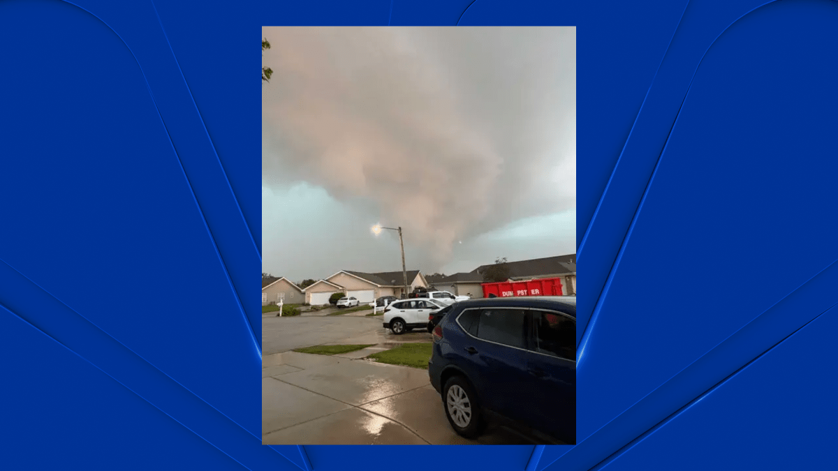
The National Weather Service (NWS) confirmed a series of high-intensity tornadoes moving across Northwest Indiana on Thursday evening. Tracking from Illinois, the storm system produced significant debris signatures on Doppler radar, impacting Lake and Porter counties. The operational response was governed by the storm’s steady eastward progression at 35 mph, with NWS emergency alerts issued by 7:20 p.m. for residents in the path of the system.
Structural Performance and Property Failure
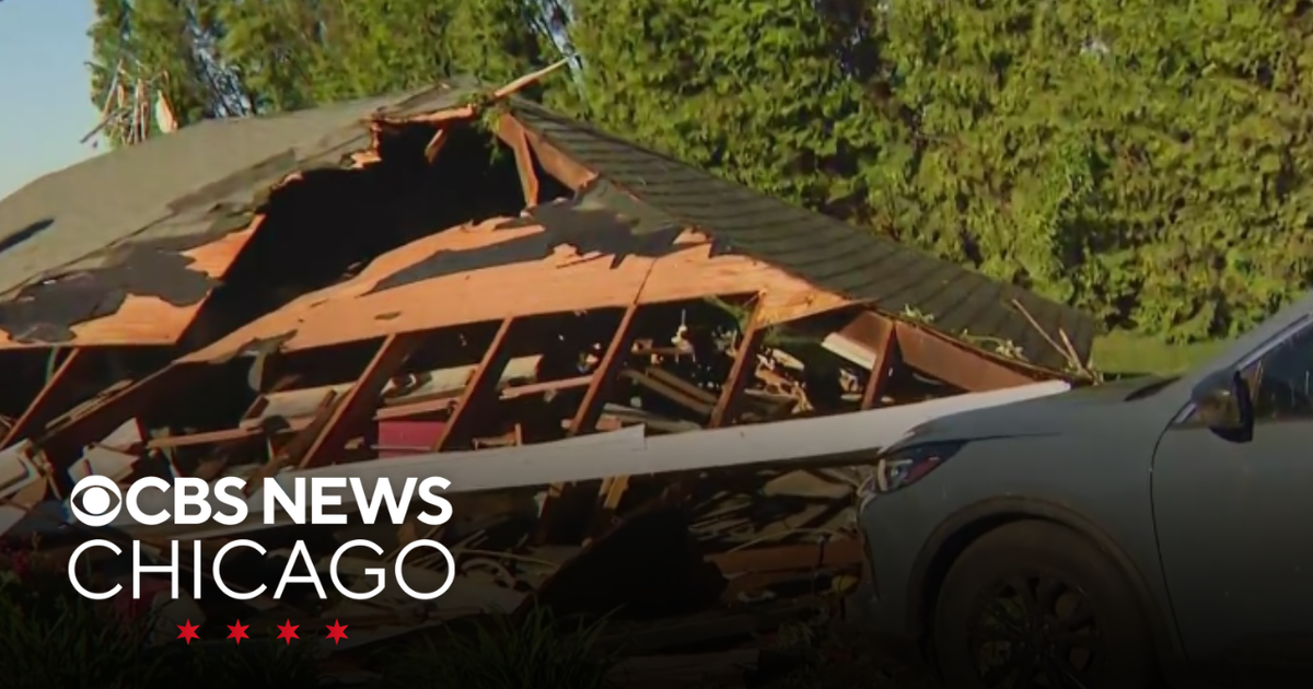
Hebron experienced the most acute physical damage, where spotter reports confirmed the collapse of residential infrastructure, including garage failures and significant structural shifting. These failures highlight the vulnerability of local building stocks to high-velocity wind events. Witness reports of pressure differentials and auditory signs of stress provide essential data for emergency managers to differentiate between cyclonic damage and straight-line winds, which reached speeds of 60–80 mph.
Regional Infrastructure and Economic Risk
The proximity of these cells to critical transit arteries like Interstate 65 exposes vulnerabilities in regional logistics. While areas such as Lowell escaped immediate damage, the concentration of severe weather near transport corridors emphasizes the need for a granular assessment of regional resilience. The event serves as a study in the interplay between volatile cold-front systems and the structural integrity of existing developments.
Institutional Resilience and Recovery
The absence of casualties suggests high efficacy in early-warning dissemination and community compliance. However, this event functions as a stress test for municipal governance. The recovery phase requires a transition to complex institutional workflows, including insurance actuarial adjustments, forensic structural engineering reviews, and potential updates to regional building codes to mitigate future risks to capital assets.
Strategic Governance and Future Mitigation
Real-time risk mitigation relies on the synergy between Doppler radar and trained spotter networks. Integrating this real-time data into predictive meteorological models is vital for reducing systemic risk. Administrative coordination across local, state, and federal agencies is currently shifting from emergency response to recovery, a phase that will dictate the long-term economic stability and housing viability of the affected Indiana corridors.