
Meteorological Dynamics and Projected Intensification
Tropical Storm Nolo’s evolution into a projected hurricane represents a critical inflection point for Hawaii’s emergency management framework. Currently situated 295 miles south of South Point with 45 mph sustained winds, the system’s transition to hurricane status by Thursday night indicates a rapid escalation in kinetic energy. The Central Pacific Hurricane Center (CPHC) identifies a pivotal atmospheric shift—a sharp northerly turn—as the primary determinant of land-based exposure. This shift dictates the operational window for utility providers to fortify power grids and for maritime authorities to secure coastal logistics before the onset of hurricane-force conditions within the 48-hour watch window.
Hydrological Vulnerabilities and Infrastructure Stress
The slow forward motion of Nolo compounds the systemic risk to Maui County, where a flood watch is active for Maui, Molokai, Lanai, and Kahoolawe. East Maui is particularly vulnerable, with forecasted rainfall of 8 to 15 inches threatening to exceed the capacity of localized drainage systems. Beyond immediate runoff, the duration of this precipitation increases soil saturation, heightening the probability of slope instability and debris flows. For regional planners, the potential isolation of windward communities necessitates pre-landfall resource staging to mitigate the impact of compromised transit corridors and essential supply chain disruptions.
Socio-Economic Impact and Historical Continuity
The CPHC’s comparison to August’s Hurricane Lala provides a vital benchmark for assessing structural risk. This historical continuity allows institutional stakeholders to target specific vulnerabilities identified during the previous storm cycle, optimizing resource allocation for the Big Island. However, the economic sensitivity of the tourism and agricultural sectors remains high; a hurricane watch typically triggers a cascade of operational shutdowns and cancellations. Furthermore, the 475-mile proximity to Honolulu places Hawaii’s maritime-dependent supply chain at risk, requiring early redirection of cargo to maintain long-term stability in the face of unpredictable sea conditions and storm surge at South Point.
Institutional Readiness and Tactical Execution
Coordination between the National Weather Service and county officials currently hinges on the narrow margin for error in Nolo’s westward turn projected for Friday night. While current models suggest the center may pass south of the Big Island, any minor latitudinal deviation would drastically alter the risk profile for the northern islands. Governance during this period relies on the precision of periodic CPHC updates to trigger emergency sirens and evacuation orders. As the system approaches, the strategic focus shifts from general awareness to the tactical execution of disaster mitigation across all affected counties to minimize infrastructure loss and ensure public safety.
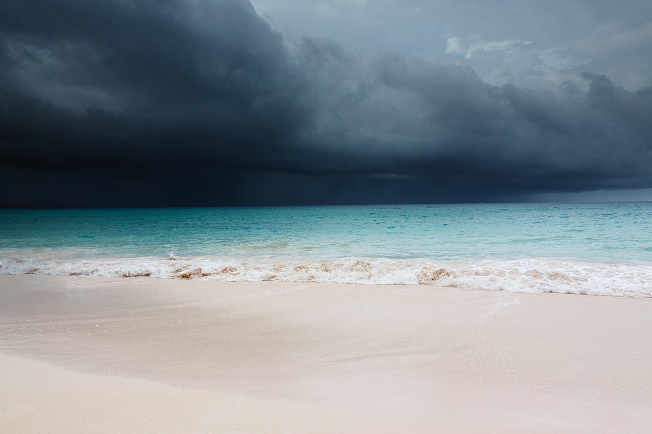
Cover photo by PublicDomainPictures on Pixabay.