
Multimodal Interoperability and Naval Activation
San Francisco Fleet Week (SFFW) 2026 serves as a critical case study in the integration of high-tempo military operations within a dense municipal environment. Spanning Wednesday through Monday, the event necessitates seamless deconfliction between the U.S. Navy and local authorities. The conversion of Piers 27 and 35 into temporary high-security installations illustrates the strategic flexibility of San Francisco’s maritime infrastructure, enabling public ship tours between 10:00 and 16:00 while maintaining active-duty security protocols.
Aviation Logistics and Airspace Deconfliction
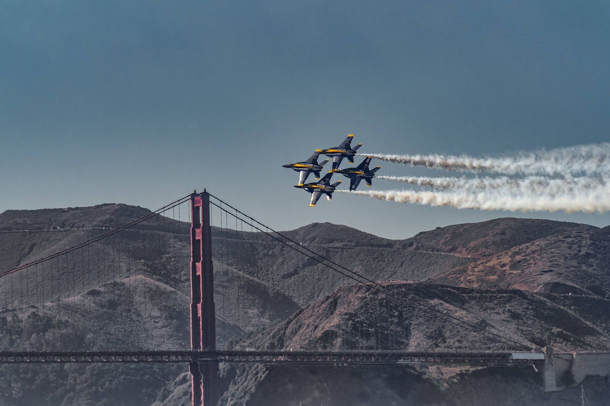
The Oakland San Francisco Bay Airport (OAK) functions as the primary tactical staging ground for the Blue Angels and supporting aviation units. This arrangement requires rigorous scheduling to separate military flight paths from commercial traffic. Thursday’s 13:00–18:00 calibration window is vital for pilots to navigate the Bay’s unique microclimates and topography. The formal air show, occurring Friday through Sunday (12:00–16:00), occupies a high-visibility littoral corridor between the Golden Gate Bridge and Alcatraz, optimized to minimize disruption to international flight paths while maximizing spectatorship.
Maritime Precision and Tidal Coordination
The Friday morning Parade of Ships (11:00–12:00) represents a complex navigational exercise, requiring synchronized timing with Pacific tidal currents and civilian vessel traffic under the Golden Gate Bridge. This entry of naval assets is monitored by the Coast Guard to establish a secure perimeter. The successful docking of large-scale vessels at urban piers serves as a stress test for maritime pilots and port agility, ensuring the central Bay remains clear for subsequent low-altitude aviation maneuvers.
Climatological Volatility and Contingency Planning
The 2026 forecast indicates potential meteorological instability, necessitating dynamic operational adjustments. High-performance flight demonstrations are strictly governed by visibility minimums and cloud ceilings. Command structures utilize real-time telemetry from OAK and maritime weather stations to pivot schedules, demonstrating the robustness of the event’s contingency protocols. These conditions also impact docking procedures, where rough waters at Piers 27 and 35 may necessitate the compression of ship tour windows to ensure visitor safety.
Urban Kinetic Density and Infrastructure Management
The concentration of observers at Marina Green, Crissy Field, and Treasure Island generates significant stress on regional transit nodes. Effective management requires a multi-agency approach to maintain emergency access and accommodate pedestrian surges. Conversely, peripheral viewing locations like the Marin Headlands necessitate inter-county coordination to manage restricted access roads. This geographic distribution of spectators is a deliberate strategy to mitigate localized infrastructure failure while expanding the event’s regional economic footprint.
Strategic Communication and Socio-Economic Impact
The Navy’s deployment of free military band performances and public tours functions as a strategic engagement tool, humanizing the military institution and showcasing technological sophistication. Economically, SFFW acts as a macro-stimulus for the Embarcadero and Fisherman’s Wharf hospitality sectors. Beyond revenue, the event provides a high-stakes simulation for large-scale disaster response and civil-military cooperation, reinforcing San Francisco’s capacity to host international-grade maritime and aviation operations.
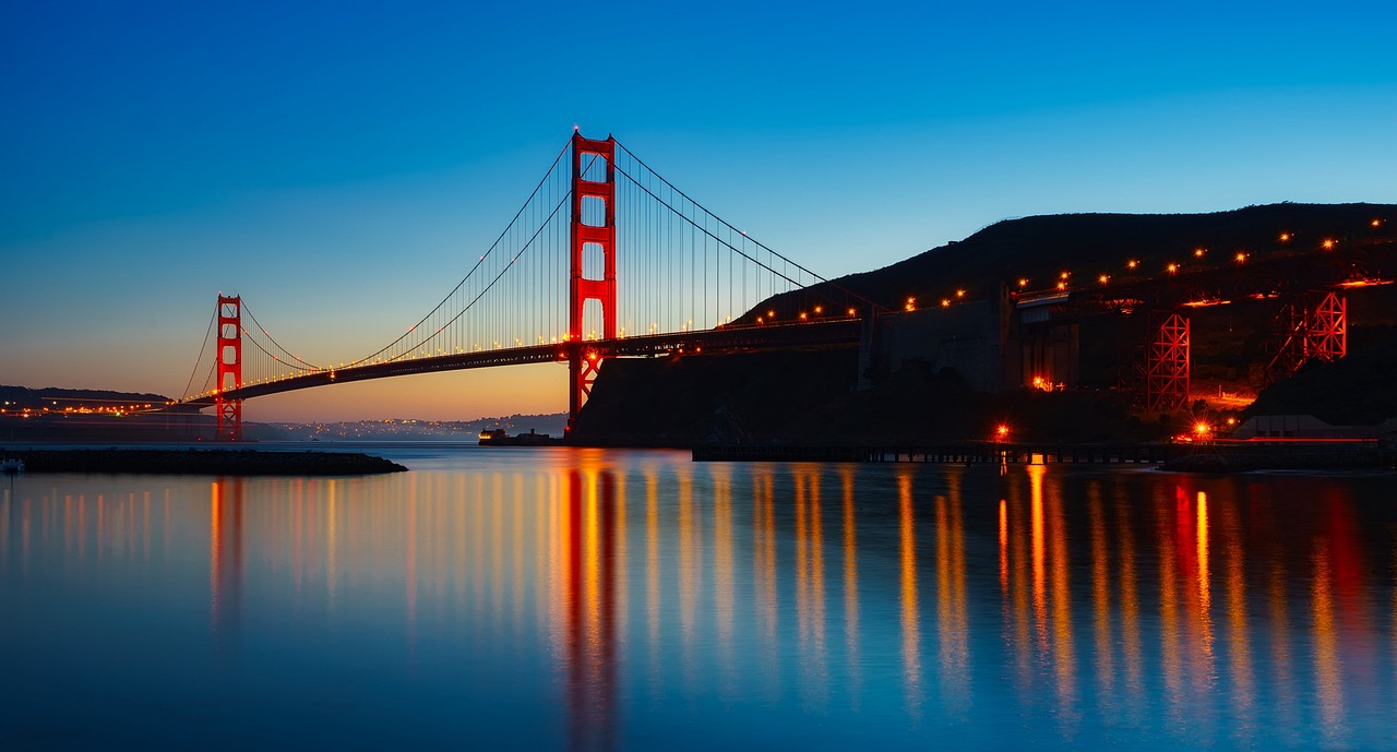
Photo by 12019 on Pixabay.