Minor Tremor Near New York City Highlights Operational Dynamics of Seismic Risk Monitoring
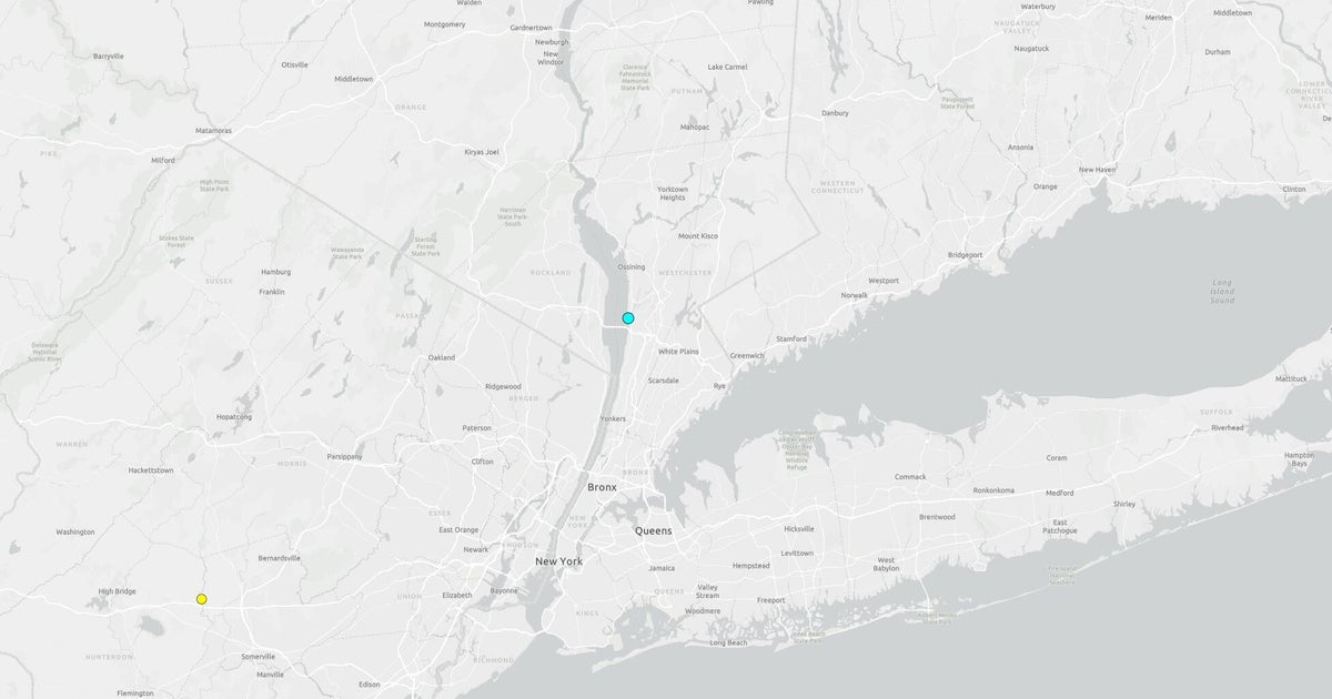
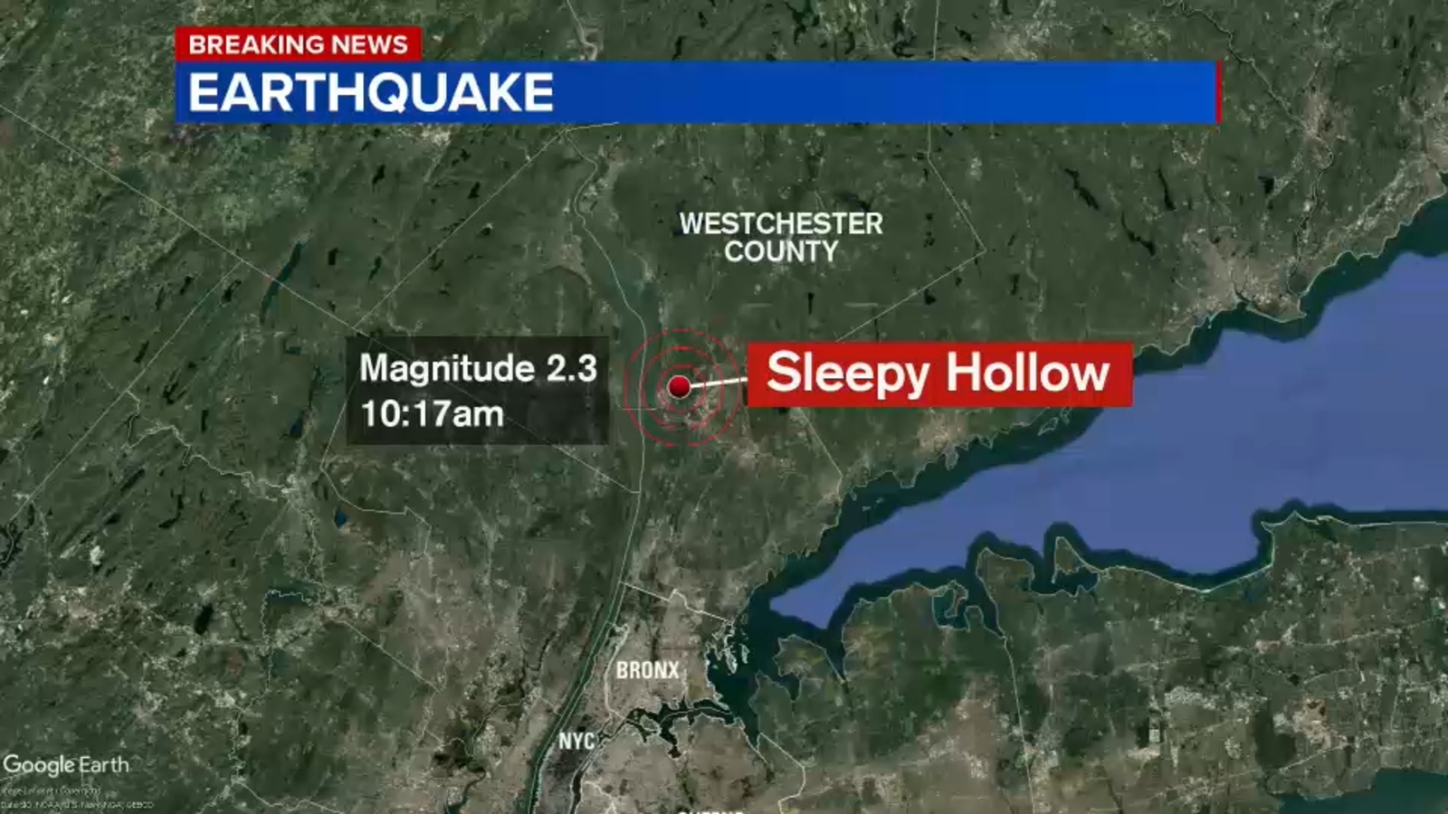
A minor 2.3-magnitude earthquake struck near Sleepy Hollow, New York, approximately 25 miles north of New York City, according to data released by the United States Geological Survey (USGS). The event, occurring at a depth of 4.5 miles, registered as a low-intensity tremor. While the physical impact was negligible, the event’s significance lies in its role as a real-world stress test for risk communication protocols and data dissemination systems within the densely populated metropolitan region.
In a low-seismic-activity zone like New York, the occurrence of even minor events disproportionately affects public perception and triggers specific institutional responses. The Sleepy Hollow tremor provides a case study for analyzing how low-probability, high-consequence risks are managed in a complex urban environment, prompting a re-evaluation of preparedness strategies and public awareness campaigns.
Data Verification and Risk Communication Protocols
The institutional response to the tremor highlighted the dynamic nature of seismic data collection and verification. The USGS, as the primary authority, engaged in a multi-step verification process, noting potential revisions to the earthquake’s reported magnitude as seismologists reviewed preliminary data from automated sensors. This process underscores the importance of real-time data analysis and quality control in accurately assessing seismic events, particularly when initial reports rely on automated systems or preliminary sensor readings. Subsequent updates to the shake-severity map, based on the Modified Mercalli Intensity scale, demonstrate the institutional mechanism for translating technical data into actionable information for public consumption.
Public reporting plays a vital role in validating low-magnitude seismic events in high-density areas. The USGS received reports from several hundred people who felt the shaking, demonstrating the importance of citizen input in supplementing sensor data. This public feedback loop is essential for refining the Modified Mercalli Intensity scale’s application in specific locales, providing valuable ground-truth data on how shaking intensity translates to human perception and minor impacts in diverse geological settings. Integrating public reports into official analyses strengthens the accuracy of risk assessments for future events.
The media’s handling of the event further illuminates risk communication dynamics. Local outlets reported the event as breaking news, reflecting the media’s role in satisfying public demand for information during unexpected occurrences, even when the actual threat level is low. This rapid dissemination of information highlights the challenge of balancing speed with accuracy in real-time reporting and necessitates clear, authoritative communication from official sources to prevent misinformation and manage public anxiety in a region unaccustomed to seismic activity.
Seismic Risk Profile and Infrastructure Resilience
The proximity of the event to New York City adds complexity to the risk analysis, serving as a reminder of underlying seismic vulnerabilities in a region where building codes are generally not designed for high-seismic loads comparable to those in California or Japan. While new construction incorporates modern engineering standards, older critical infrastructure—including bridges, tunnels, and utility networks that serve millions—may be more vulnerable to seismic stress. Strategic planning for infrastructure upgrades and maintenance must consider the potential for low-probability seismic events.
For financial institutions and insurance markets, the event’s lack of physical impact reinforces existing risk models for the region. The absence of immediate claims activity means no capital movement. However, the data collected from the event, including aftershock monitoring within a 100-mile radius, contributes to long-term risk modeling. This systematic data collection process is critical for refining probabilistic seismic hazard analyses (PSHA), which inform building codes, infrastructure design, and land-use planning. Insurance underwriters utilize this data to update pricing strategies and catastrophic risk models, ensuring accurate risk assessment in a dynamic market.
The event also influences public policy discussions regarding emergency preparedness and resource allocation. In a region where resources are often allocated to more frequent risks like coastal flooding or extreme weather, a seismic event, however minor, shifts focus back to a less common but potentially catastrophic threat. This requires policymakers to ensure emergency response plans are comprehensive enough to address a full spectrum of potential disasters, highlighting the importance of balancing competing priorities in-region priorities.
Conclusion: A Low-Cost Preparedness Test
The 2.3-magnitude earthquake near Sleepy Hollow, N.Y., while physically insignificant, holds substantial value for understanding operational dynamics in a low-seismic-risk, high-density environment. The event highlights the complex interplay between data verification protocols, public perception management, and long-term strategic planning for infrastructure resilience. The institutional response to this minor tremor provides a framework for evaluating preparedness levels and refining risk communication strategies for future events, serving as a low-cost stress test for critical systems without the burden of actual damage or disruption.