
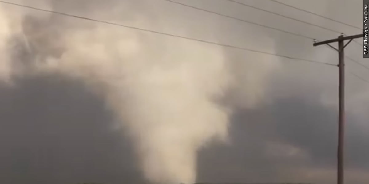
Radar-Detected Rotation Triggers Convective Emergency Protocol
The National Weather Service (NWS) Weather Forecast Office in Reno issued an urgent tornado warning for western Nevada on Thursday afternoon following Doppler radar detection of strong atmospheric rotation. The warning perimeter encompassed portions of Storey County, southern Washoe County, and north-central Lyon County, activating immediate civil protection protocols across regional transport, industrial, and residential sectors.
Meteorological surveillance fixed the centroid of the rotating severe convective cell near Derby Dam, roughly 16 miles northeast of Virginia City. Propagating eastward at approximately 15 miles per hour, the system established an immediate threat trajectory toward key logistics corridors and population centers, including Fernley and Wadsworth.
Trajectory Vector and Key Infrastructure Exposure
The warning designated an acute hazard operational window between 1:41 p.m. and 2:15 p.m., placing critical transit arteries—notably the USA Parkway industrial corridor—under direct meteorological risk. The geographic scope subsequently extended across adjacent zones, impacting areas from Patrick through Silver Springs.
Aviation and ground logistics nodes faced severe exposure, with the Fernley-Tiger Field Airport directly within the storm’s projected path. Civil defense advisories issued urgent shelter directives across Wadsworth and Fernley, explicitly highlighting catastrophic structural vulnerabilities for mobile homes and unanchored properties. Residents and operational personnel were instructed to evacuate vehicles and seek fortified lower-level interior rooms away from exterior apertures.
Multi-Hazard Convective Matrix and Operational Risks
The meteorological threat environment extended beyond tornadic circulation. NWS radar and surface data indicated a severe multi-hazard matrix comprising:
- Severe Hail: Formations scaling from pea-sized to quarter-sized stones up to one inch in diameter, posing significant structural, vehicular, and glazed-surface hazards.
- Convective Winds & Debris: Dangerous aerodynamic sheer capable of generating high-velocity airborne debris and localized roof/facade structural damage.
- Hydrological Strain: Intense localized precipitation rates triggering flash flooding risks along regional drainage networks and primary road surfaces.
The rapid convergence of tornadic shear, large hail, and rapid runoff created acute logistical disruptions throughout the USA Parkway freight nexus. Municipal emergency management and regional transit teams initiated simultaneous response mechanisms, shifting focus toward post-passage structural integrity evaluations, drainage clearing, and corridor safety assessments across the Great Basin perimeter.

Photo by Jonas_Fehre on Pixabay.