Operational Dynamics of the Max Fire
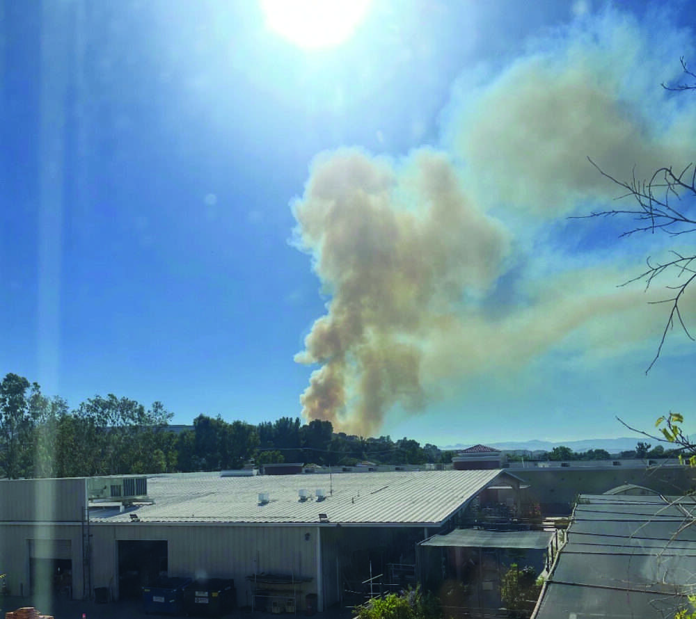
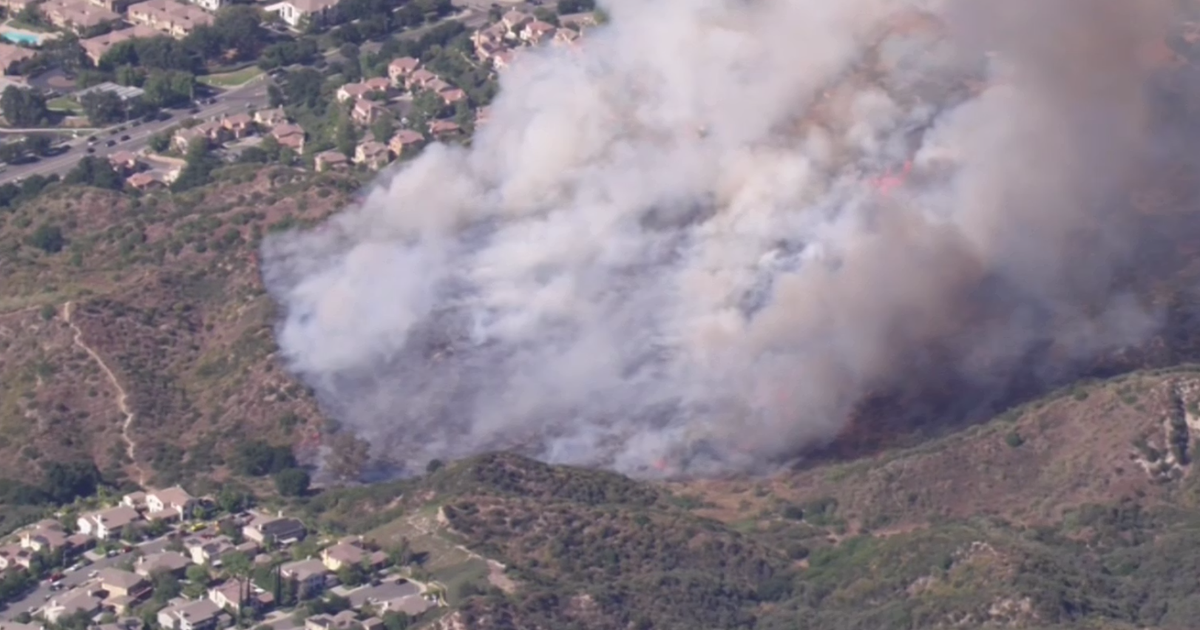
The Max Fire, identified by the Los Angeles County Fire Department (LACoFD), ignited near the hiking trails of Pico Canyon Park at approximately 4:20 p.m. Due to the proximity of the fire to the Magnolia Lane and Autumn Place corridors, LACoFD immediately escalated operations to active structural defense protocols.
Containment efforts centered on integrated aerial and ground suppression. Firefighting helicopters deployed hand crews directly to the fire front while simultaneously dropping retardant to establish a defensive perimeter around threatened neighborhoods.
Strategic Deployment and Resource Allocation
The fire’s rapid expansion—from initial report to 32 acres within one hour—illustrates the volatility of Santa Clarita Valley’s topography. Manual construction of containment lines was necessary in rugged terrain where mechanical equipment is restricted. Real-time monitoring via platforms like Watch Duty has proven instrumental in coordinating public safety, specifically for defensive buffers near Gloriso Lane and Favoloso Court.
Institutional Response and Public Safety Protocols
LACoFD followed a standard escalation matrix, transitioning from shelter-in-place orders to mandatory evacuations to minimize egress congestion. During the suppression efforts, a camp crew member sustained an injury and was transported to Henry Mayo Newhall Hospital, prompting standard internal reviews regarding safety equipment and operational efficacy in high-intensity conditions.
Structural Risk and the Urban-Wildland Interface
Stevenson Ranch serves as a case study for the urban-wildland interface (WUI), where residential developments abut volatile brush zones. Agencies must manage multi-front threats, such as the fire’s movement toward STV-PICO, Jasmine, and Summerhill lanes. Egress decisions are calculated based on dynamic fire behavior, wind patterns, and critical path analysis to prioritize life safety.
Economic and Systemic Implications
Beyond immediate suppression costs, the Max Fire highlights the systemic economic risks of wildfires, including infrastructure strain and long-term insurance impacts for WUI residents. The success of the response—defined by the ratio of contained fire versus structures lost—provides a vital data point for future land-use and fire-mitigation policies in the region.
Future Trajectories and Resilience
The ongoing investigation into the fire’s ignition source will likely inform regional safety regulations. Institutional resilience in the Santa Clarita Valley depends on the integration of defensible space, fire-resistant building materials, and the continued agility of LACoFD resources. As the situation remains fluid, authorities emphasize the necessity of public adherence to official updates to ensure community safety.