Seismic Event Mobilizes Institutional Infrastructure
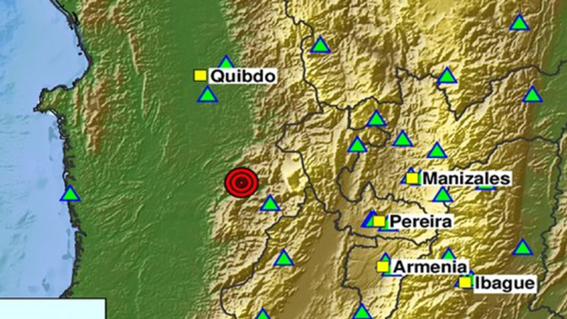
A high-magnitude seismic event struck western Colombia, registering a magnitude of 7.4 according to updated assessments by the Servicio Geológico Colombiano and the U.S. Geological Survey. The initial discrepancy between preliminary automated readings and revised measurements highlights the operational complexities inherent in real-time seismic monitoring and institutional reporting networks.
The epicenter was localized in San José del Palmar within the department of Chocó, translating into widespread ground motion felt across multiple administrative centers. Depth metrics, recorded near 96 to 107 kilometers, significantly influenced the distribution of surface energy across the Andean and Caribbean regions of the country.
Urban Emergency Response and Public Infrastructure Protocols
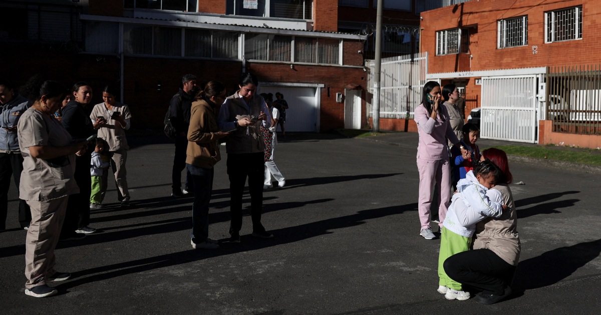
Major metropolitan centers, including Bogotá and Medellín, activated immediate evacuation protocols and automated alarm systems as the tremor propagated eastward. Municipal leadership utilized public communication channels to provide rapid situational awareness while local emergency committees initiated localized inspections.
Capital city administration confirmed that initial assessments yielded no major structural collapses or severe casualties, though minor architectural damage such as wall cracking was documented. Such preliminary evaluations serve as vital indicators for municipal risk management frameworks tasked with prioritizing structural audits across dense urban environments.
Institutional Coordination and Disaster Management Operations
The Unidad Nacional para la Gestión del Riesgo de Desastres established direct communication pathways with territorial authorities to aggregate damage data from outlying municipalities. This coordinated institutional response mechanism is designed to mitigate information latency between regional operators and central oversight bodies during active seismic events.
Concurrently, specialized entities such as the Instituto Distrital de Gestión de Riesgos y Cambio Climático deployed inspection units across local jurisdictions to evaluate high-occupancy structures. These operational steps emphasize the continuous calibration of urban preparedness systems in regions historically exposed to high seismic hazards.