Maryland Snowfall Disparity: Operational Challenges and Risk Management in the Mid-Atlantic
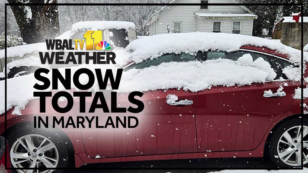
The February 2026 snowstorm exposed critical operational disparities in infrastructure resilience across the Washington D.C. and Baltimore metropolitan areas. The storm’s impact was highly localized, creating significant logistical challenges for regional services. While central Baltimore recorded minimal accumulation (1.2 inches on TV Hill), surrounding counties experienced substantially heavier snowfall, ranging from 3 to 6 inches, including 5 inches in Queen Anne’s County and 6 inches in Northern Frederick County.
This geographic disparity was exacerbated by the physical characteristics of the precipitation. The storm produced “clumpy wet snowflakes” and marginal temperatures, which increase the density and weight of the snow. Wet snow places greater strain on removal equipment and requires different treatment protocols compared to dry snow. The resulting logistical bottleneck—where urban centers remained largely operational while suburban and rural areas faced significant mobility issues—complicated regional response strategies for both public and private sectors.
Public Sector Risk Management and Economic Trade-offs
The response from state and local authorities reflected a heightened level of strategic preparedness, prioritizing proactive intervention over reactive measures. Maryland Governor Wes Moore declared a state of preparedness, and D.C. Mayor Muriel Bowser deployed the District Snow Team preemptively. These actions illustrate a strategic shift in public administration, aimed at mitigating potential economic disruption and ensuring public safety, even when forecasts remain uncertain.
This preemptive approach presents a classic public sector risk management dilemma: balancing the immediate costs of over-preparation (labor, materials, and potential workforce disruption from closures) against the greater potential costs of under-preparation (gridlock, accidents, extended closures, and economic losses from supply chain disruption). In high-density, economically critical areas like the D.C.-Baltimore corridor, officials demonstrated a strategic preference for minimizing tail risk, accepting higher immediate costs to avoid potentially catastrophic economic consequences.
Economic Impact and Infrastructure Resilience
The storm’s dispersed impact created varied economic consequences across the region. In the D.C. metro area, the primary disruption stemmed from school delays and closures, which directly affected workforce productivity and business continuity. The economic cost of these closures extends beyond lost work hours, impacting last-mile logistics, retail foot traffic, and essential service operations. For businesses with regional supply chains, the inability of suburban employees to commute created staffing and operational bottlenecks, regardless of conditions in urban hubs.
The storm’s classification as a “coastal storm” affecting 63 million people underscores its broader economic significance. While BWI airport only reported an inch of snow, even minimal accumulation necessitates de-icing procedures, causing delays and affecting air cargo movement throughout the broader network. The logistical challenges highlight a need for robust inter-jurisdictional cooperation and resource sharing to manage regional economic disruption effectively.
Long-Term Climate Trends and Policy Implications
The historical context of this storm—making the winter the snowiest in seven years (total accumulation 14.7 inches)—provides critical data for long-term climate trend analysis and infrastructure investment. The shift toward more frequent or intense disruptive events necessitates a reevaluation of municipal budgets and infrastructure resilience strategies. The presence of “clumpy wet snowflakes” and marginal temperatures points to a broader challenge associated with climate variability: infrastructure designed for dry, cold snow may be less effective against heavier, wetter precipitation. This variability complicates long-term planning, requiring resources to address a wider range of potential weather scenarios.
For insurance and risk modeling sectors, the historical comparison to the 2018-2019 winter provides valuable data on return periods for significant snowfall events. The increasing frequency of such events can lead to adjustments in risk assessments for property damage and business interruption liabilities. Long-term capital planning for infrastructure upgrades must account for these changes, including investments in resilient power grids and improved drainage systems to manage rapid snowmelt and potential flooding.
Media and Public Information Dynamics
Media response to the storm emphasized real-time, localized information dissemination. The use of specific data points (e.g., 1.2 inches on TV Hill vs. 5 inches in Queen Anne’s County) reflects a demand for granular data to inform personal travel decisions and assess localized risk. The communication challenge for public officials lies in providing consistent messaging when conditions vary drastically across a region. News organizations leverage digital platforms to provide continuous updates and interactive resources, enhancing their relevance during high-stakes weather events. This integrated digital approach allows for a more nuanced communication of risk, tailored to specific geographic locations within the broader alert area.