
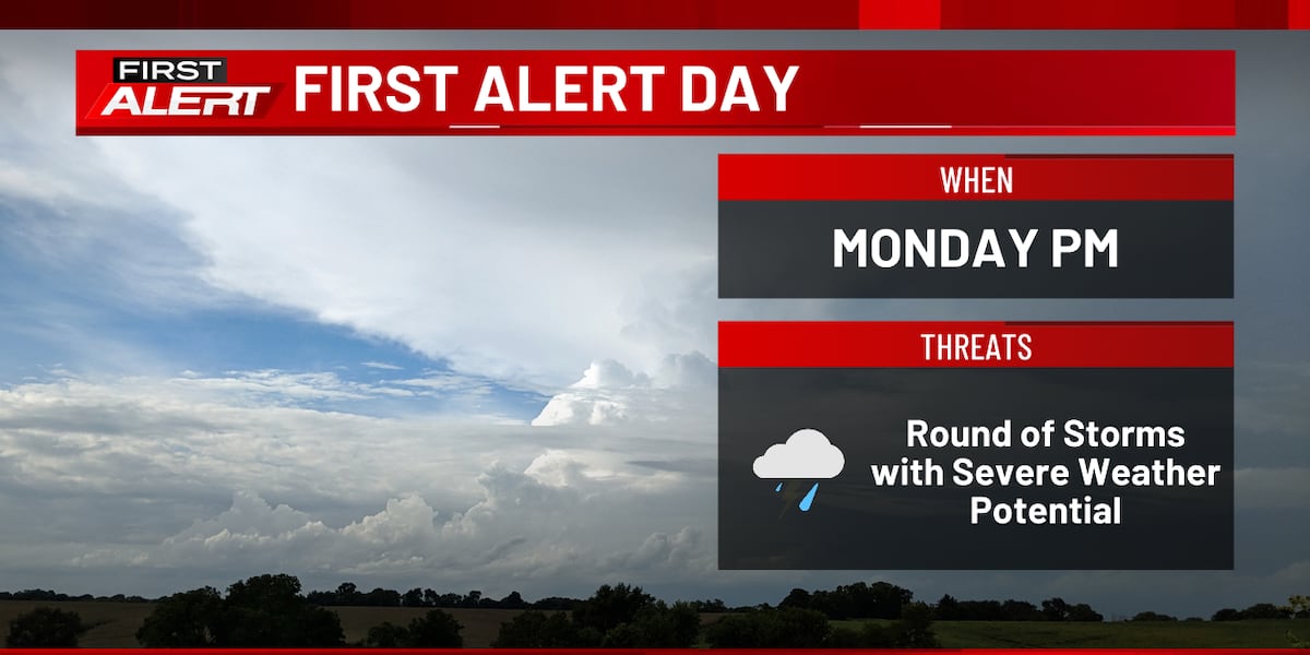
The meteorological event forecasted for April 27, 2026, represents a high-impact confluence of mesoscale volatility and economic density within the American Midwest and Mid-Mississippi Valley. As disparate atmospheric waves converge, the resulting convective instability poses a quantifiable challenge to regional industrial continuity and institutional risk-mitigation frameworks.
The Storm Prediction Center’s Level 3 (Enhanced) risk designation for western Indiana serves as a catalyst for specific operational responses among high-value infrastructure managers. This threshold, compounded by a significant probability of EF3+ tornadic activity, necessitates a pivot from passive monitoring to active mitigation for stakeholders along major transit corridors.
Atmospheric Forcing and Convective Evolution
In eastern Iowa, the meteorological progression is governed by a diurnal cycle that induces a transient period of atmospheric stabilization during the late morning. This interval of thermodynamic recharge, with temperatures peaking in the mid-60s to low 70s, acts as the primary precursor for rapid storm redevelopment between 14:00 and 16:00. For industrial hubs like Cedar Rapids, this narrow window is critical for tactical adjustments regarding outdoor labor and fleet security.
As storm cells transition from discrete supercells to linear convective systems moving eastward, the hazard profile shifts from localized tornadic threats to systemic straight-line wind damage. This evolution complicates risk assessments for utility providers; linear systems typically generate widespread, albeit less concentrated, infrastructure failures compared to isolated supercells, straining regional recovery resources.
Logistics Sequestration and Node Vulnerability
The geographic focus of the severe threat encompasses primary freight nodes—including Chicago, Indianapolis, St. Louis, and Nashville—placing a substantial portion of North American transit infrastructure at risk. These metropolitan areas function as critical supply chain nodes where minor operational pauses can trigger cascading delays in national inventory movement.
In Indianapolis, the arrival of a warm front after 13:00 marks the onset of phased storm development. This requires a tiered response from logistics managers to balance immediate afternoon throughput with the high-intensity, nocturnal risks projected between 21:00 Monday and 02:00 Tuesday. The timing of this cold front passage coincides with the period of lowest human vigilance, significantly increasing the risk to night-shift labor and facility operations.
Actuarial Thresholds and Structural Resiliency
The potential for EF3 intensity shifts the discourse from routine weather preparedness to catastrophic loss prevention. Actuarially, the EF3 threshold represents a critical point where structural damage often exceeds repairability limits, resulting in total loss claims for commercial and residential portfolios. Insurance carriers utilize these intensity forecasts to mobilize catastrophe response teams and calibrate exposure models in real-time.
The multi-peril environment—characterized by large hail and damaging winds—complicates post-event damage attribution. Institutional stakeholders must evaluate the resilience of critical facilities that may lack the hardening required to withstand the extreme wind loads associated with upper-tier EF-scale events. Furthermore, the multi-day nature of this threat suggests a cumulative strain on regional insurance reserves, as successive convective waves hinder immediate damage assessment.
Nocturnal Hazards and Communication Redundancy
The extension of severe risks into overnight hours imposes an acute burden on public safety communications. Nocturnal tornadoes are statistically more lethal due to obscured visibility and the reduced effectiveness of traditional alert mechanisms. Consequently, the reliance on redundant systems like 13Weather and KCRG First Alert is paramount for disseminating granular data to corporate and residential populations.
The fragility of digital infrastructure remains a secondary risk; should power or communication networks fail during initial convective waves, the capacity to warn populations of subsequent, more severe threats is compromised. This necessitates pre-emptive messaging and the hardening of emergency communication channels to maintain the feedback loop of risk information.
Conclusion: Strategic Institutional Response
The disparity between the Level 3 risk in western Indiana and the Level 2 risk elsewhere underscores the need for geographic precision in resource staging. In Iowa, the focus remains on the mid-afternoon redevelopment window, which aligns with peak transit hours, requiring municipal authorities to execute early-intervention protocols for school and commuter networks.
Ultimately, the events of April 27, 2026, highlight the necessity of integrating meteorological data directly into business continuity planning. By analyzing the causal chains of warm and cold front interactions, stakeholders can mitigate the most severe economic and human impacts of environmental volatility, ensuring systemic resilience in an era of increasing convective frequency.
Photo by 12019 on Pixabay.