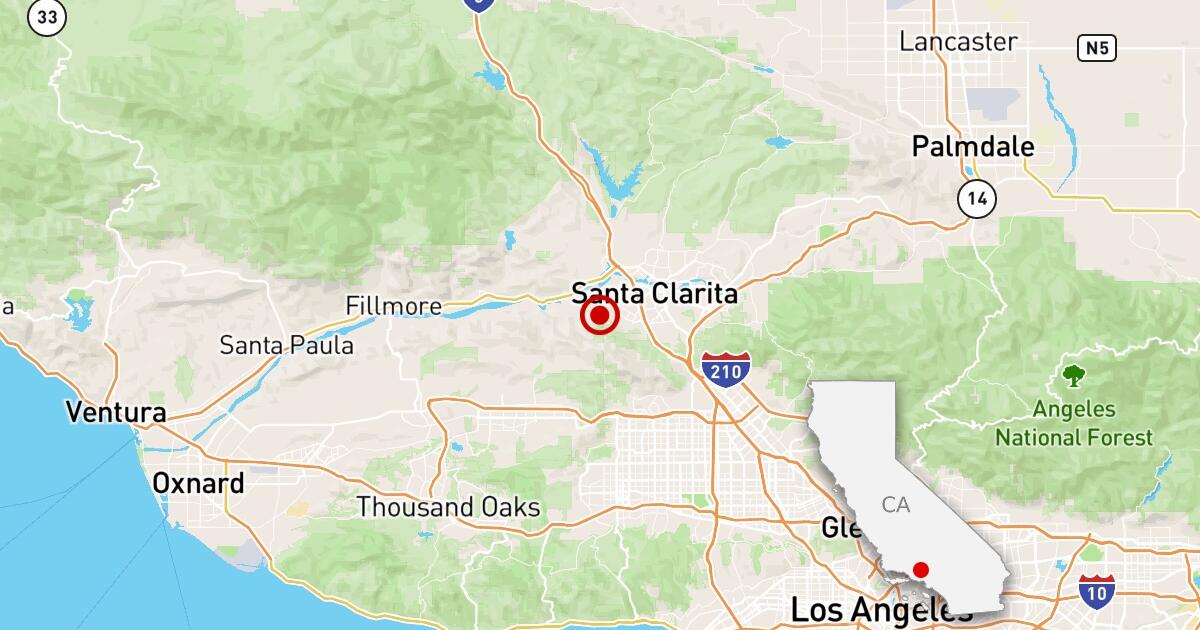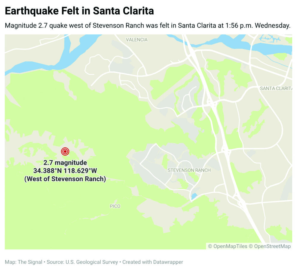
The M2.7 seismic event recorded near Stevenson Ranch serves as a diagnostic indicator of ongoing lithospheric adjustments within the Santa Clarita Valley (SCV). While categorized as a minor tremor by the U.S. Geological Survey (USGS), its 4.3-kilometer focal depth classifies it as a shallow crustal rupture. This positioning facilitates efficient energy propagation through regional sedimentary basins, explaining felt reports as far south as Simi Valley despite the low magnitude. Such events provide critical empirical data for refining attenuation models in high-density residential corridors.
Strategic Infrastructure and Geospatial Risk
The SCV represents a critical nexus of logistical arteries and utility networks. The proximity of the epicenter to Valencia and Castaic places these tremors within an environment of significant economic sensitivity. For institutional stakeholders, these frequent low-magnitude events act as ‘tectonic telemetry,’ offering insights into the subsurface geometry of faults that parallel the primary San Andreas line. This data is vital for updating building codes and disaster response frameworks for the I-5 corridor, a primary artery for interstate commerce.
Operational continuity in the SCV is contingent upon the structural integrity of water and transit systems. The 2.7 magnitude event, occurring near major population centers, necessitates a shift from reactive to proactive maintenance cycles. While immediate structural failure is improbable at this intensity, the cumulative effects of frequent tremors can exacerbate material fatigue in aging infrastructure and necessitate recalibration of sensitive industrial equipment used in the region’s aerospace and manufacturing sectors.
Hydrological Vulnerability: The Castaic Lake Nexus
Seismic activity near the Castaic Lake Recreation Area—including a recent 2.8 magnitude tremor—highlights the specific vulnerabilities of California’s State Water Project. As a primary reservoir, Castaic Lake is subject to mandatory inspection protocols following local seismic triggers to ensure the stability of dam embankments and spillways. The geographical reach of felt reports into the Antelope Valley suggests a complex seismic coupling between the SCV and the Mojave Block, requiring a unified regional approach to hydrological safety.
Macro-Tectonic Context: The San Andreas Influence
The USGS explicitly contextualizes Southern California activity within the broader tectonic motion of the San Andreas Fault. The fault’s trajectory through Frazier Park and Palmdale creates a continuous risk profile for the state’s most critical logistics hubs. The Stevenson Ranch event is a localized manifestation of the regional crustal strain accumulation that defines the San Andreas boundary, reminding planners that minor adjustments often precede significant lithospheric ruptures.
Evolution of Real-Time Monitoring and Data Crowdsourcing
Modern seismic risk management increasingly relies on the synergy between automated systems, such as Quakebot, and human editorial oversight. Rapid dissemination of USGS sensor data reduces the information lag for emergency responders, allowing for near-instantaneous resource prioritization. This technical framework is augmented by the ‘Did You Feel It?’ program, which utilizes crowdsourced intensity reports to generate high-resolution shake maps. This citizen-science layer is essential for understanding ‘site effects’—how specific geological formations amplify or dampen seismic waves.
Economic Implications and Resilience Modeling
The persistence of seismic activity in Stevenson Ranch influences regional actuarial models and real-time property valuations. For the insurance sector, frequent tremors necessitate a more granular assessment of risk, impacting premium structures for commercial and residential assets near active fault traces. As monitoring precision improves, the transparency of this data allows for more accurate pricing of environmental risk, ultimately fostering a more resilient investment environment. These minor events are not merely geological footnotes but essential data points in California’s strategy for long-term tectonic endurance.