Northeast Braces for Potential Weekend Snowstorm
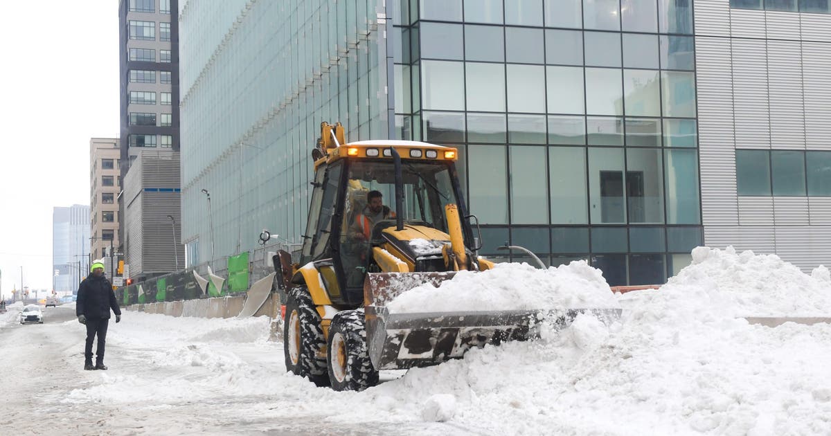
Residents of the Northeast, particularly in New York and New Jersey, are already digging out from a recent significant snowfall and are now facing the possibility of another winter storm this upcoming weekend. Forecasters are closely monitoring developing weather patterns that could bring more snow to the region.
Early indications suggest that areas around New York City and Philadelphia could be significantly impacted. The National Weather Service has noted an increasing potential for a substantial winter event, prompting early attention from meteorologists and residents alike.
Early Forecasts and Scenarios
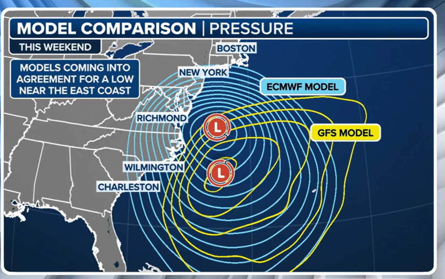
While it is still early to provide definitive snowfall totals and exact storm tracks, meteorologists are beginning to outline potential scenarios. The primary concern is the development of a low-pressure system that could track along the East Coast, drawing in cold air and moisture necessary for snow development.
The New York City metropolitan area, still recovering from a previous winter blast, is a focal point for these developing forecasts. Forecasters are providing early thoughts on the potential timing and intensity of any storm, emphasizing that conditions can change rapidly in winter weather.
Philadelphia Area Under Watch
In Philadelphia, the National Weather Service has also indicated an increasing likelihood of another significant winter storm. The agency is actively monitoring the situation and will provide updated forecasts as more data becomes available. This news comes as residents prepare for the potential of more disruptive weather.
The possibility of repeated winter storms highlights the volatile nature of weather systems in the region during this season. Residents are advised to stay informed about weather updates and prepare for potential travel disruptions and necessary preparations for winter weather.
Broader East Coast Concerns
Beyond New York and Philadelphia, forecasters are assessing the potential for this developing storm to affect a wider swath of the East Coast. The exact path and strength of the storm will determine the extent of its impact, including where the heaviest precipitation will fall and the transition between rain, sleet, and snow.
Several scenarios are being considered by meteorologists. These range from a weaker system that brings only light snow or mixed precipitation to a more potent storm capable of producing heavy snowfall and blizzard-like conditions in some areas. The interaction of different air masses will be critical in shaping the storm’s final outcome.
Context of Winter Weather Patterns
The current weather patterns are typical for this time of year, characterized by the clash of cold air masses from the north and warmer, moist air from the south. These interactions frequently lead to the development of significant storm systems along the Eastern Seaboard.
The frequency and intensity of winter storms can vary significantly from year to year, influenced by larger climate patterns such as the El Niño-Southern Oscillation (ENSO). Understanding these broader patterns can offer some insight into the expected severity of a given winter season, though individual storm development remains complex.
The recent snowstorm served as a reminder of the preparedness needed for winter weather. Residents in affected areas are encouraged to review their emergency kits, ensure their homes are adequately prepared for cold temperatures, and have a plan in place should travel become hazardous.
As the weekend approaches, more precise details regarding the storm’s trajectory, potential snowfall amounts, and timing will become clearer. Official meteorological agencies will continue to issue updates, and the public is urged to rely on these authoritative sources for the latest information.
The Gulf Coast of the United States, while geographically distant from the immediate threat of this potential Northeast storm, is also susceptible to its own weather challenges, including tropical systems during warmer months and occasional cold air intrusions. However, the current focus remains squarely on the developing winter weather impacting the northern and eastern United States.