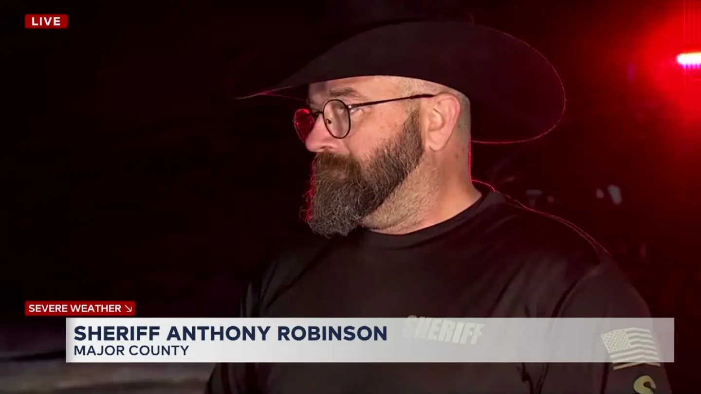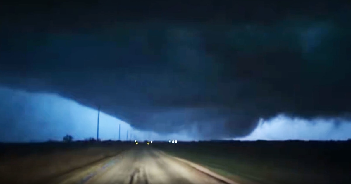
The confirmed fatalities of two individuals in Major County, Oklahoma, resulting from a suspected direct tornado strike on their vehicle near Fairview (State Highway 60 and County Road 2435), function as a high-stakes stress test exposing systemic deficiencies across regional emergency infrastructure, communication redundancy, and search & rescue (SAR) operational doctrine.
Dependency on Digital Tethering for Life-Saving Locating
The critical operational sequence—the loss of cellular connection followed by investigators using the final ping to trace the victims—illustrates a profound dependency on digital tethering for SAR effectiveness in rapidly evolving, severe weather scenarios. This failure point directly questions the viability of conventional search grids when telecommunications infrastructure degrades under extreme localized load.
The multi-agency mobilization, involving the Oklahoma Highway Patrol (OHP), Major County Sheriff’s Office, and game wardens, underscores inherent jurisdictional latency in rural emergency response. The definitive success of the trace relied on OHP utilizing cellular triangulation, suggesting ground-based search capabilities were either too slow or geographically uncoordinated to preempt the danger.
This reliance imposes significant pressure on telecommunications stability during meteorological crises. Any network degradation or tower failure during peak alert periods could critically delay the initiation of recovery operations, transforming an immediate threat into a fatal delay.
Mandates for Infrastructure Hardening and Protocol Integration
The documented outcome necessitates an immediate legislative and administrative review of protocols governing the transition from active warning status to post-impact SAR, specifically integrating cellular data precision into dispatch directives while developing non-cellular location fallback methods.
For infrastructure providers, this case demands capital investment in localized, hardened communication nodes capable of maintaining service integrity independent of broader regional backhaul stability during localized stress events.
Pending final National Weather Service (NWS) confirmation, the investigators’ assessment regarding the vehicle damage consistency with a tornado strike establishes a clear causal vector driving future preparedness assessments and potential liability frameworks.
Strategic Re-evaluation of Rural Transit Safety and Warning Granularity
The NWS advisory regarding a ‘dangerous’ tornado trajectory toward the Kansas border contextualizes the Fairview incident within a systemic, high-impact weather corridor. The victims’ status as active motorists highlights a significant gap in real-time decision support for travelers caught between the risk of stopping exposed and the danger of continuing transit.
This scenario demands a strategic shift in public safety messaging: moving from generalized alerts to highly granular, location-specific directives factoring in the velocity of tornadic development and the limited survivability profile of standard passenger vehicles.
Stakeholder Exposure and Capital Allocation Pressure
Local governments in Major County face acute pressure to demonstrate immediate preparedness enhancements, translating into potential capital expenditure demands for upgraded severe weather detection or unified inter-agency communication platforms.
Beyond immediate property damage claims absorbed by carriers, the indirect financial impact involves increased actuarial risk modeling applied to known severe weather travel corridors, which may influence regional insurance pricing structures.
The required coordination between state troopers and local Sheriff’s offices during recovery reveals the fiscal strain placed on smaller jurisdictions by mandatory multi-agency deployment, diverting essential resources from routine patrol functions.
Information Velocity and Media Ecosystem Dynamics
Local broadcast media, exemplified by entities like KFOR and KOCO FIVE NEWS, played a crucial role in providing near-real-time visual confirmation of tornadic activity, often outpacing official NWS ground confirmation protocols.
The rapid transition from missing person reports to confirmed fatalities, facilitated by on-scene reporting and agency confirmation, showcases the high-velocity information cycle emergency management must navigate to maintain public trust through factual accuracy.
Competitive Edge in Emergency Broadcasting
Local broadcast entities gain competitive leverage by demonstrating rapid, accurate, and continuous coverage, positioning themselves as indispensable public safety utilities against national aggregation services.
The established framework for sustained severe weather coverage, evidenced by continuous reporting structures, is a necessary operational capability given the persistent threat predictions for the region.
Systemic Fragility of Rural Utility Infrastructure
Widespread reports of downed power lines and tree damage confirm the systemic fragility of dispersed utility infrastructure against extreme wind shear, impacting power delivery and emergency service operational capacity.
Restoration logistics are inherently complex due to dispersed damage profiles and physical access challenges in remote areas, extending community vulnerability periods significantly.
This recurring pattern suggests that capital investment in grid hardening and vegetation management programs has critically lagged behind the increasing intensity and frequency of regional severe weather patterns.
Long-Term Resilience Planning Imperatives
Strategic resilience planning must incorporate anticipating direct vehicular impact during tornadic events, potentially influencing future state guidance on highway design standards or siren placement in unincorporated areas.
The inability to ascertain the victims’ precise travel itinerary highlights a crucial data gap regarding population movement patterns during high-risk weather, impacting optimal resource staging prior to impact.
The investigation into the fatality cause will directly inform future public safety campaigns, clarifying the comparative risk assessment between sheltering in place versus attempting relocation during an active warning.
The unified command framework demonstrated between state troopers and local law enforcement requires continuous stress-testing drills to ensure seamless execution when time constraints are paramount.
This incident underscores that while warning technology improves lead times, the ‘final mile’ of personal safety remains contingent on individual decision-making under duress and the physical robustness of the immediate environment.
Administrative review must now focus on timeline bottlenecks that marginally delayed search team arrival, even post-signal trace. This event will likely drive legislative prioritization for funding that bridges both information and physical infrastructure deficits exposed along Highway 60.
The structural challenge remains achieving equitable resource allocation: preparing highly populated centers alongside the sparsely populated agricultural counties facing identical meteorological threats. The multi-tiered law enforcement review establishes a benchmark for future SAR response metrics in Oklahoma.
The tragic loss necessitates continuous, high-level coordination between meteorological science dissemination and ground-level tactical deployment—a linkage that proved fatal when momentarily severed. Implications also reach the automotive sector, prompting review of regulatory impetus for in-vehicle alert systems independent of cellular networks in high-risk zones.