Systemic Thresholds: The PDS Framework
The National Weather Service (NWS) has escalated its risk assessment for the Tri-State region, transitioning to the high-consequence ‘Particularly Dangerous Situation’ (PDS) designation. This administrative lever is reserved for meteorological events where the probability of life-threatening phenomena exceeds standard alert thresholds, demanding an immediate recalibration of institutional readiness across Southwestern Indiana, Western Kentucky, and Southern Illinois.
Atmospheric Volatility and Tactical Positioning
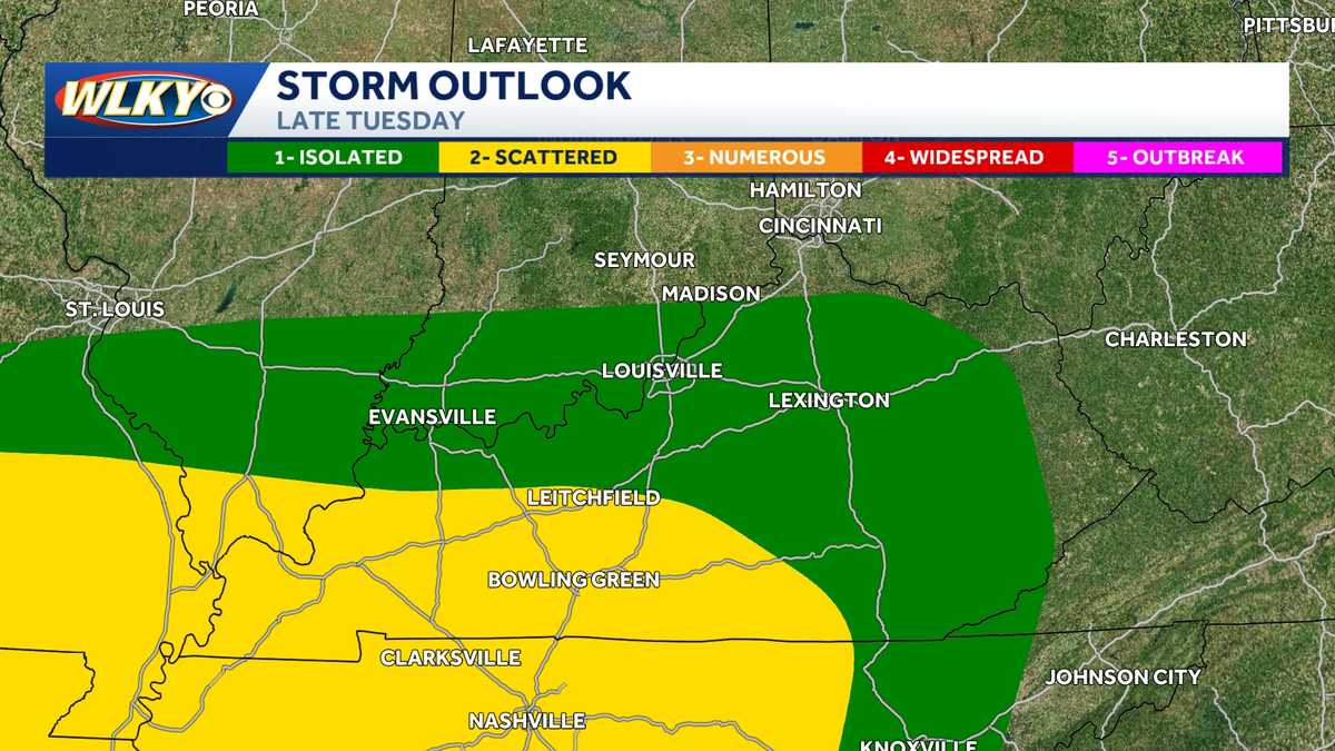
The Storm Prediction Center (SPC) has delineated an Enhanced/Moderate risk corridor, signaling high confidence in intense convective development. For regional stakeholders, the transition to a PDS tornado watch—specifically citing EF-3 potential—functions as a catalyst for industrial shutdown protocols and the mobilization of emergency services. The timing of this event, forecasted between 20:00 and 01:00, introduces a nocturnal crisis window that neutralizes visual cues and increases reliance on redundant, automated alert systems.
Infrastructure Vulnerability and Macroeconomic Impact
Beyond tornadic threats, 70-mph straight-line winds pose a systemic challenge to the regional power grid and telecommunications. Such magnitudes are sufficient to induce structural fatigue in aging utility distribution networks. Concurrently, large-diameter hail serves as a primary driver of insurance loss, often surpassing the financial impact of localized tornadoes due to the broader geographic footprint of the hail core. These cumulative stressors test the operational capacity of emergency crews who must manage secondary rounds of volatility while previous damage remains unmitigated.
Logistics Disruption and Supply Chain Integrity
Saturated soil and documented ponding in the Louisville metro area have already compromised logistics and transportation networks. For the Jefferson County freight hubs, these conditions necessitate a tactical shift in delivery schedules. Disruption of highway intersections in the Louisville area directly affects just-in-time supply chains, creating downstream delays in regional commerce. The persistence of the Severe Thunderstorm Watch until 04:00 ensures a prolonged period of operational exposure for utility providers and transit authorities.
Institutional Resilience and Post-Event Recovery
The role of media has pivoted to a mobile-first strategy, emphasizing information flow redundancy to bypass power grid failures. This technological resilience is critical as residents navigate the transition between warning types in counties like Oldham, Henry, and Shelby. Long-term recovery planning must now account for the high cost of debris removal and potential displacement associated with EF-3 damage thresholds. Ultimately, the PDS designation serves as a strategic signal that atmospheric instability has reached a level that threatens the fundamental operational baseline of the entire Tri-State region.