
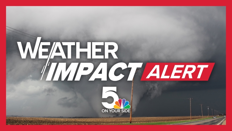
A formalized Tornado Watch has been declared for the St. Louis Metropolitan Statistical Area, encompassing an extensive 32-county footprint across Missouri and Illinois. This designation activates comprehensive regional severe weather contingency plans, distinguishing it from a Tornado Warning which implies imminent, confirmed tornadic activity.
Geospatial Scope and Inter-Agency Synchronization
The alert’s breadth is significant, affecting 18 Missouri counties (including St. Louis City/County, Franklin, St. Charles, and Jefferson) and 14 Illinois counties (e.g., Madison, St. Clair, Bond, Monroe). This vast geographic coverage mandates immediate synchronization across disparate municipal, county, and state emergency management frameworks.
The operational requirement is immediate resource staging and the consolidation of public dissemination channels, recognizing the high potential for high-impact, short-duration weather events intersecting major population and commercial centers.
Infrastructure Vulnerability and Business Continuity Activation
For entities within the defined perimeter, the Watch triggers the execution of continuity plans, emphasizing asset hardening and the actionable status of pre-defined employee sheltering procedures. The operational difference between a Watch (conducive conditions) and a Warning (imminent danger) dictates a state of heightened readiness rather than immediate operational cessation.
Critical infrastructure, particularly utility grids and transportation arteries, must undergo preemptive stability checks. The risk profile encompasses potential wind damage and localized flash flooding associated with the expected severe convection.
Communication Modality Optimization During Alerts
Official advisories critically emphasize adherence to established safety parameters, directing residents to verified safe locations before the 8 p.m. CDT expiration. Weather impact teams are leveraging strategic communication protocols.
A key directive underscores the preference for SMS/text messaging over voice calls during periods of anticipated high cellular network load. This preference stems from empirical data regarding legacy infrastructure saturation points during mass emergency notifications, ensuring critical data pathways remain open.
Leveraging Network Constraints in Crisis Informatics
This reliance on asynchronous digital alerts reflects a mature operational understanding of real-time network capacity limitations in localized crises. Public information officers must prioritize SMS and data-driven platforms to ensure actionable safety data bypasses potential voice-channel congestion, establishing digital platforms as the primary conduit for directives.
Meteorological Dynamics and Threat Profile Assessment
The Watch is founded on meteorological modeling indicating strong to severe, rapid-onset storms. This suggests a highly sheared convective environment conducive to localized, intense wind events or isolated tornado touchdowns, minimizing public lead time post-Warning issuance.
Forecasting Confidence and Risk Modeling Triggers
The National Weather Service St. Louis issuance reflects high confidence in atmospheric instability, moisture convergence, and necessary lift mechanisms identified in current mesoscale models. This confidence level directly triggers internal exposure modeling for the insurance sector across all specified county lines.
The multi-state scope necessitates the pre-positioning of interstate mutual aid agreements, acknowledging that localized damage can rapidly deplete single-jurisdiction first responder capacity.
Economic Exposure Analysis Across the Bi-State Corridor
The affected area integrates significant industrial, agricultural (Illinois sector), and metropolitan commercial zones, representing substantial aggregate economic value under threat. Just-in-time logistics dependent on major interstate crossings face high probabilities of supply chain disruption due to potential infrastructure damage or necessary road closures.
Financial Sector Readiness and Aggregate Exposure
For P&C insurers, a Watch across a major MSA mandates the immediate escalation of catastrophe response teams and the vetting of capital reserves against widespread potential claims. The primary focus shifts to the speed of damage assessment and claims disbursement efficiency, critical metrics for perceived institutional resilience.
Preparedness Benchmarks and Systemic Resilience Testing
Community resilience is benchmarked by the efficacy of pre-determined family reunification plans. The partnership between technical meteorology and local media is vital for translating complex data into high-compliance public action.
Long-Term Mitigation Strategy Inputs
The recurrent nature of severe weather in this region demands investment shifts from temporary fixes to systemic hardening of public shelters and communication networks. The structural integrity of older housing stock within the watch area remains a quantifiable liability that hazard mitigation planning must address through code enforcement or retrofitting incentives. The outcome of this alert cycle informs subsequent regional hazard mitigation funding applications.

Photo by jeanvdmeulen on Pixabay.