Atmospheric Volatility and Operational Latency
The extension of tornado watches across eastern Iowa and the activation of Weather Impact Alerts in the St. Louis metropolitan area signify an escalating regional risk profile. As elevated wind shear persists into the diurnal minimum, the operational burden transitions from proactive monitoring to reactive emergency management. The nocturnal shift of severe weather introduces a critical vulnerability: public safety efficacy decreases as traditional communication channels lose reach after 22:00, necessitating a total reliance on automated Wireless Emergency Alerts (WEA).
Current institutional readiness is challenged by a significant thermal anomaly—unseasonably warm, humid air that sustains convective energy post-sunset. This persistence complicates standard meteorological decay models, extending the required duration of institutional vigilance and resource deployment.
Geographic Corridors and Logistics Exposure
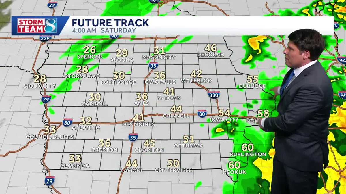
The recalibration of tornado watch zones to target regions east of I-35 and south of Highway 20 reflects a transition toward corridor-based risk assessment. By de-escalating warnings in western areas like Carroll and Harlan, emergency resources are strategically reallocated to high-density transit hubs. The I-35 corridor is particularly sensitive; high wind shear and nocturnal tornadic potential pose direct threats to 24-hour long-haul trucking operations and regional distribution networks.
In central Iowa, the fluid management of warnings for Polk, Boone, and Dallas counties illustrates the necessity of ‘warning integrity.’ Rapidly canceling alerts when storms fall below severe thresholds is a calculated effort to mitigate public desensitization and maintain the credibility of future emergency signals.
P&C Insurance Drivers and Economic Impact
The presence of half-dollar-sized hail and 50 mph wind gusts creates quantifiable exposure for the Property and Casualty (P&C) insurance sector. These physical hazards drive residential and automotive claims in urbanized zones such as Grimes, Granger, and Madrid. Beyond immediate property damage, large hail presents a high-severity risk to commercial roofing and agricultural assets, potentially disrupting early-season agricultural planning.
Utility infrastructure remains a primary concern. Wind gusts exceeding 50 mph necessitate heightened standby capacity for power providers. Remediation of line failures is structurally disadvantaged during overnight hours due to visibility constraints and field crew safety protocols, potentially lengthening recovery timelines.
Regional Case Studies: St. Louis and Kansas City
In St. Louis, the storm threat peaks during typical sleeping hours, shifting the safety burden toward automated individualized systems. While the tornado risk is not characterized as widespread, the potential for embedded circulations within fast-moving lines requires high-resolution radar monitoring. The unusual humidity suggests these systems will maintain structural integrity longer than typical nocturnal cells, forcing municipalities to extend emergency staffing levels through early Saturday.
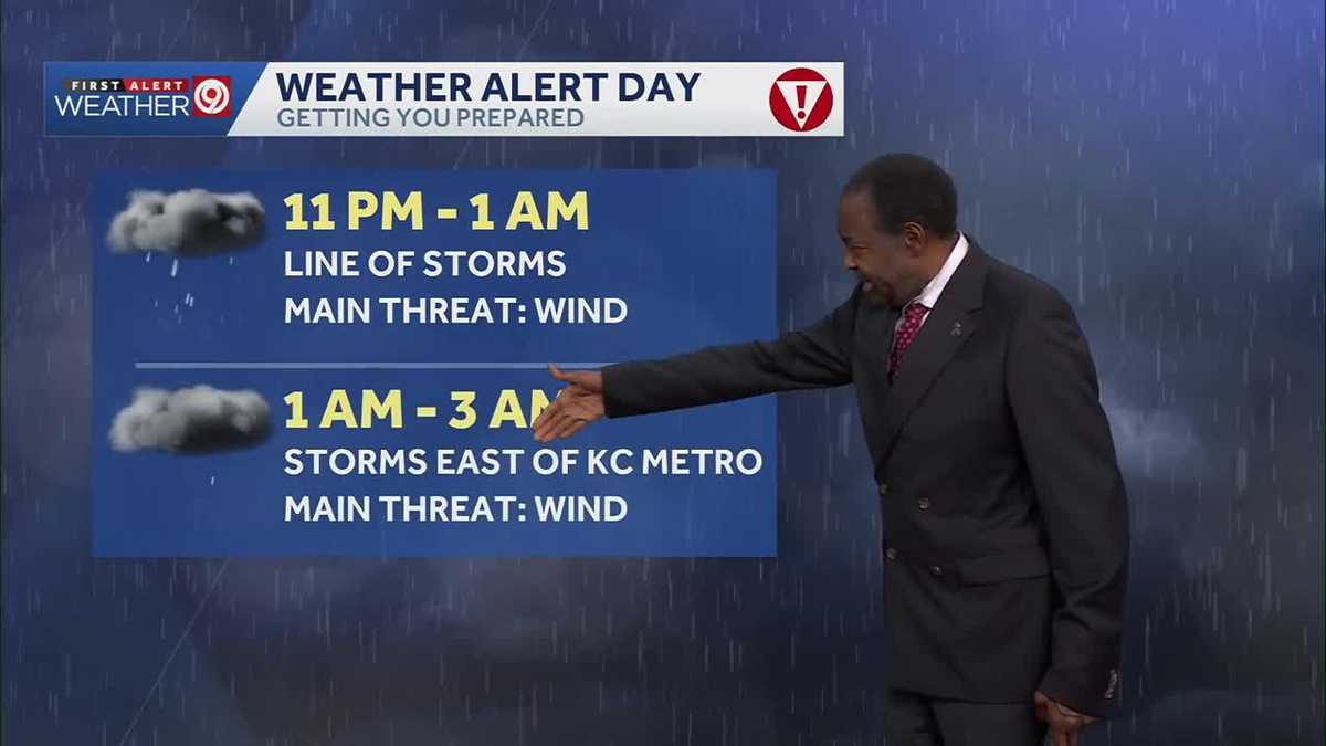
The Kansas City metropolitan area faces complexity from multi-round systems along an advancing cold front. The escalation from thunderstorm to tornado warnings in Jackson, Johnson, and Wyandotte counties indicates rapid atmospheric rotation. This broad geographic footprint complicates multi-jurisdictional responses, requiring synchronized coordination to manage disparate impact zones across Clay, Platte, and Buchanan counties.
Technological Resilience and Future Preparedness
The heavy reliance on WEA technology underscores the integration of mobile hardware into the national safety net. However, this dependency exposes a digital divide; individuals without modern mobile access or within cellular dead zones face increased risk. Institutional strategies must therefore maintain secondary redundancies, such as NOAA weather radios and siren arrays.
The latent energy triggered by subtle shifts in the cold front’s progression challenges short-term forecasting accuracy. As unseasonably warm air masses become more frequent in transitional seasons, understanding these strategic implications is essential for long-term urban planning and the hardening of critical infrastructure against volatile atmospheric dynamics.