
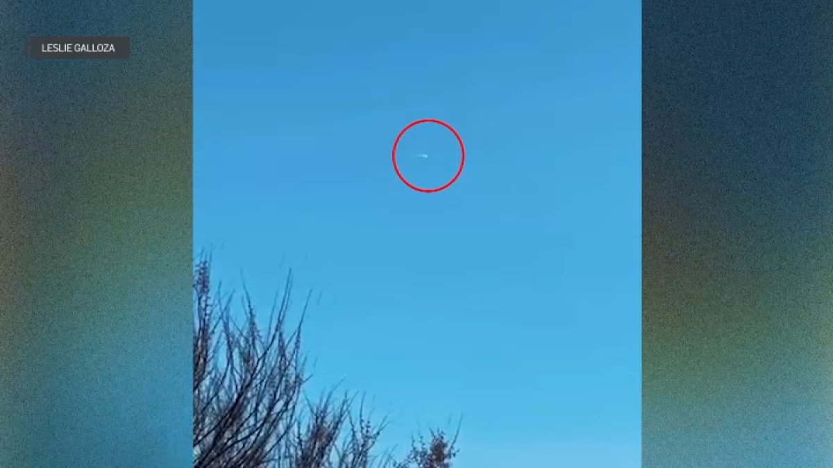
NASA’s recent validation of a high-velocity bolide entry over the Northeastern United States highlights the increasing efficacy of hybrid data synthesis in atmospheric monitoring. By integrating witness accounts with granular camera footage, federal researchers have reconstructed a 117-mile trajectory that commenced 48 miles above the Atlantic and terminated in a terminal disintegration event over New Jersey.
Sensor Fusion and Crowdsourced Triangulation
The institutional reliance on the American Meteor Society (AMS) to aggregate over 200 individual reports signifies a strategic pivot toward citizen science as a primary detection layer. This crowdsourced model facilitates rapid triangulation of transient events that often bypass dedicated orbital sensors. The inclusion of secondary sensor networks—including dashcams and security systems—provides the necessary visual telemetry to calculate velocity and fragmentation altitudes with high confidence.
The timing of the event at 2:34 p.m. is particularly notable. Daytime visibility requires extreme luminosity, suggesting a specific mass-to-composition ratio capable of overcoming solar glare. This tech-saturated environment effectively utilizes the public as a global sensor array, providing multi-angle documentation rarely achieved in maritime or remote environments.
Kinetic Dynamics and Atmospheric Resistance
The recorded entry velocity of 30,000 miles per hour serves as the baseline for assessing the kinetic energy dissipation involved. As the object transitioned from 48 miles to its terminal altitude of 27 miles, the resulting thermal stress and atmospheric pressure surpassed the object’s internal structural cohesion. This 21-mile vertical descent through increasing atmospheric densities triggered a rapid ablation process, leading to total fragmentation over Galloway Township, New Jersey.
The shallow entry angle of the 117-mile path allowed for extended observation of the object’s interaction with the thermosphere and mesosphere. These metrics are vital for researchers evaluating the structural integrity of near-Earth objects (NEOs) and the predictive modeling of future atmospheric entries.
Seasonal Variance and Strategic Implications
NASA identifies the February-through-April window as the peak fireball season, a recurring factor in institutional monitoring strategies. The occurrence of this event over a high-density population center like the tri-state area provided a robust data environment that far exceeds the analytical value of oceanic entries.
By cross-referencing trajectory models with local meteorological radar data, NASA has established a comprehensive scientific record of the event. This integrated approach—combining human observation, digital recording technology, and professional physics-based analysis—remains the gold standard for characterizing the interaction between the Earth’s atmosphere and the surrounding space environment.

Photo by WikiImages on Pixabay.