The Strategic Utility of Orbital Earth Observation
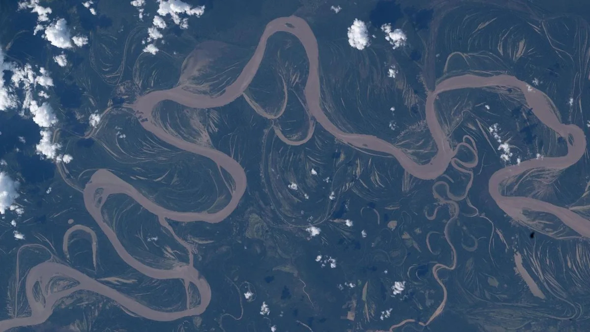
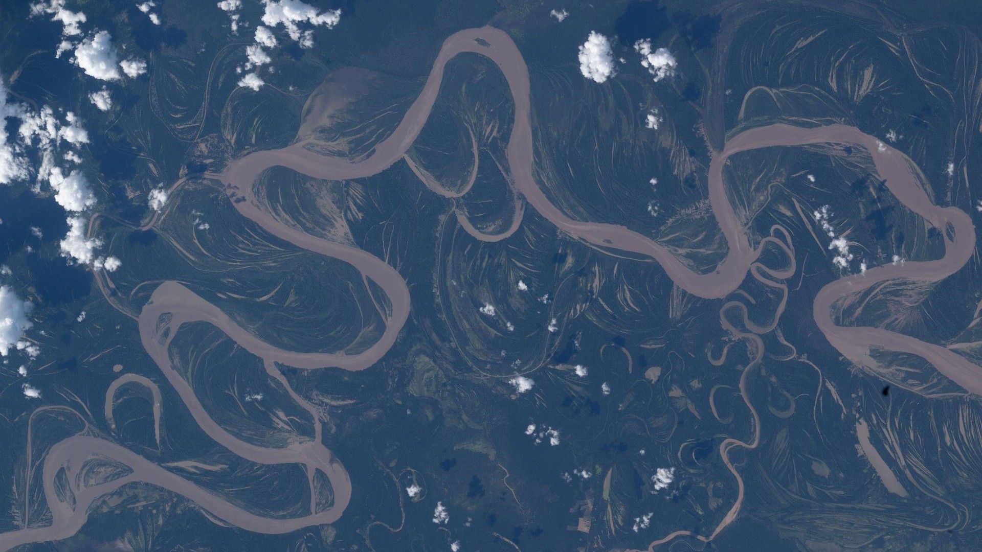
NASA astronaut Jessica Meir’s imaging of the Ucayali River from the International Space Station (ISS) demonstrates the sophisticated integration of human-crewed orbital platforms into global environmental monitoring. By documenting this primary hydrological artery, the mission highlights the operational advantages of low Earth orbit (LEO) for capturing dynamic, remote ecosystems that traditional ground-based assets often fail to resolve with equal fidelity.
Operational Synergy: Crew-12 and Continuous Data
Launched in February 2026 via SpaceX, the Crew-12 mission serves as a critical node in a broader logistical pipeline. The station’s ongoing collaboration with Expedition 74 personnel provides the longitudinal stability necessary to track Amazonian hydrological shifts across extended seasonal cycles. This human-in-the-loop approach allows for real-time adjustments in imaging focus, capturing ephemeral environmental phenomena that autonomous, pre-programmed satellite constellations might overlook.
Ecological and Institutional Significance
The Ucayali basin is a biodiversity hotspot, critical for the survival of species such as the giant river otter and the Amazonian pink dolphin. From an institutional standpoint, space-based imagery provides an objective, non-invasive metric for assessing land-use changes, illegal deforestation, and the integrity of indigenous territories. Public access to this data bridges the gap between scientific observation and actionable environmental policy, facilitating a more rigorous evidence-based approach to rainforest preservation.
Economic and Scientific Implications
The cost-benefit analysis of maintaining ISS observation platforms is increasingly favorable as high-resolution datasets become foundational to international conservation efforts. The Crew-12 imagery acts as a benchmark for mission success, where scientific utility converges with commercial launch efficiency. By leveraging these LEO assets, stakeholders in climate research obtain granular spatial data essential for modeling hydrological risks and managing regional sustainability in the central Peruvian basin.
Conclusion: The Human Element in Automated Era
While autonomous sensors provide consistent, continuous data streams, the intellectual contribution of astronauts remains an irreplaceable asset. Jessica Meir’s documentation of the Ucayali confirms that the synergy between human judgment and automated precision is essential for the future of Earth science. As the Crew-12 rotation progresses, the data derived will continue to inform global understanding of the Amazon’s fragile equilibrium, reinforcing the necessity of a sustained human presence in orbit.