Unprecedented Atmospheric Volatility
The National Weather Service (NWS) office in Northern Indiana recorded 55 severe thunderstorm warnings this April, nearly doubling the previous monthly record of 28 set in 2001. This statistical surge indicates a shift in regional weather patterns, characterized by a persistent cycle of cold fronts clashing with unseasonably warm, humid air masses. Such meteorological conditions create a high-frequency environment for convective activity that challenges traditional forecasting baselines.
Technological Advancements in Forecasting
The agency’s ability to manage this high volume of warnings relies heavily on modernized monitoring. Meteorologist Dustin Norman cites high-resolution satellite imagery and dual-polarization radar as essential tools for identifying mesoscale developments. By enhancing the spatial precision of advisories and reducing lead times, these technologies remain the primary mechanism for mitigating risks during rapid-onset severe weather events.
Operational Impact and Public Safety
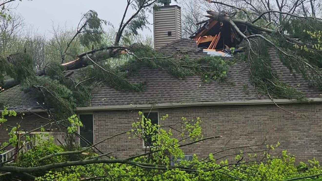
Beyond the meteorological data, recent events—including tornado warnings in Indianapolis and damage surveys in St. Joseph County—demonstrate the localized, dynamic nature of these storms. The NWS is leveraging citizen science by soliciting crowdsourced damage reports to augment official surveys. This integration of public data is critical for refining predictive models and quantifying the economic impact on sectors ranging from municipal infrastructure to private insurance, where frequent claims are prompting a re-evaluation of long-term risk assessment and building code resilience.