
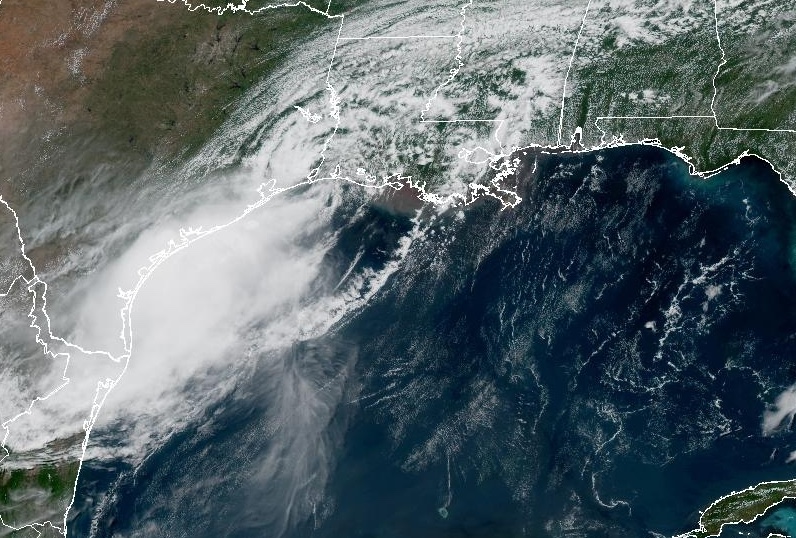
Tropical Storm Bertha completed its trajectory by making a second landfall near the Texas-Louisiana state line on Thursday afternoon. The National Hurricane Center documented the center coming ashore approximately 75 miles northeast of Galveston, Texas, marking the termination of its slow movement across the northern Gulf Coast.
This event follows an initial landfall earlier in the week when the system grazed the Louisiana coast southwest of New Orleans. Formed initially in the Gulf of Mexico south of Florida, the system maintained a track that tested coastal infrastructure across multiple jurisdictions.
Forecasters projected that the system would weaken rapidly after moving inland over terrestrial terrain. Operational expectations focused on diminishing wind speeds, though immediate coastal areas remained subject to localized storm surge and isolated flash flooding risks.
Emergency management networks and municipal authorities monitored the system for potential impacts on regional logistics and public safety. Despite severe coastal weather threats, official reports confirmed that no fatalities or significant structural damage occurred following the system’s initial formation.
Transportation networks, including regional shipping lanes and coastal roadways, experienced temporary precautionary assessments. Economic exposure centered primarily on temporary business interruptions and municipal emergency response expenditures, which were mitigated by the storm’s rapid dissipation.

Photo by ddcreativohn on Pixabay.