Digital Mapping and Serendipitous Scientific Discovery
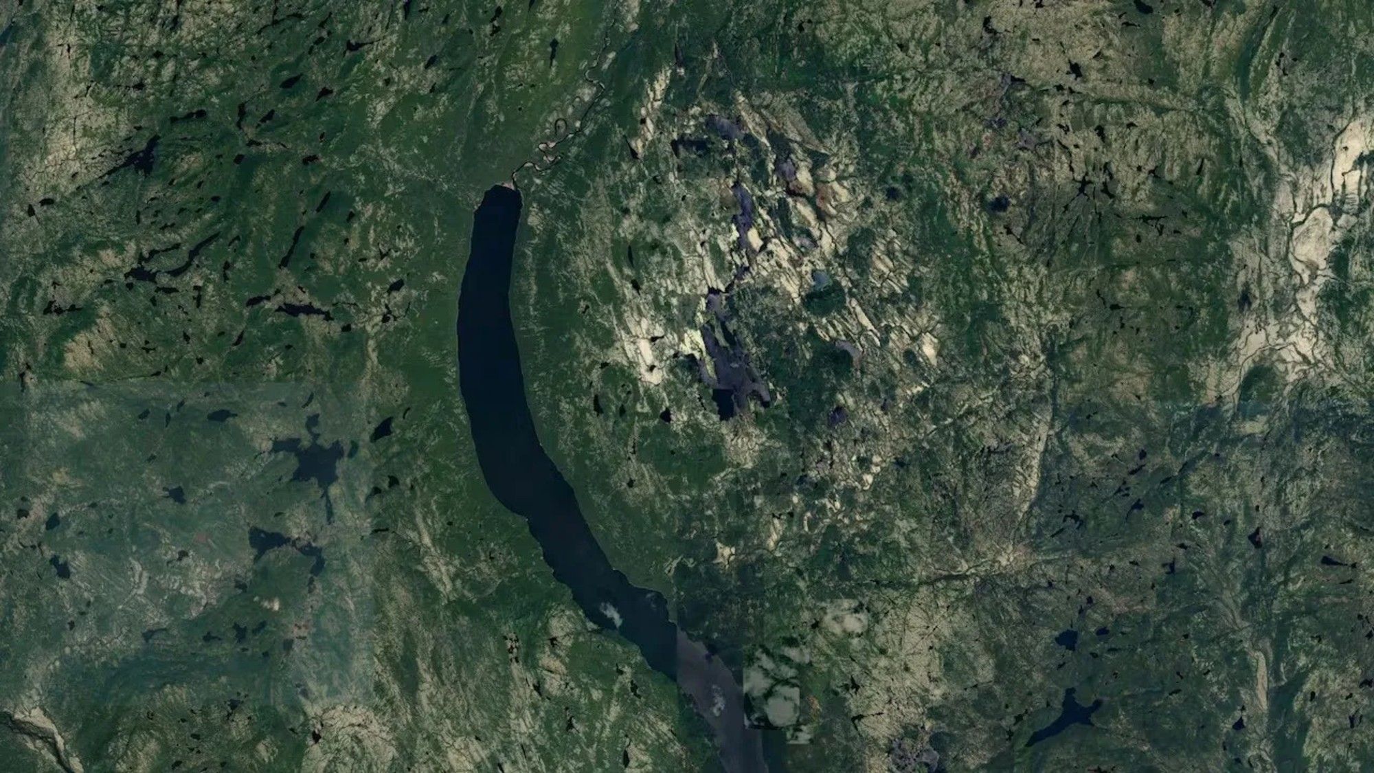
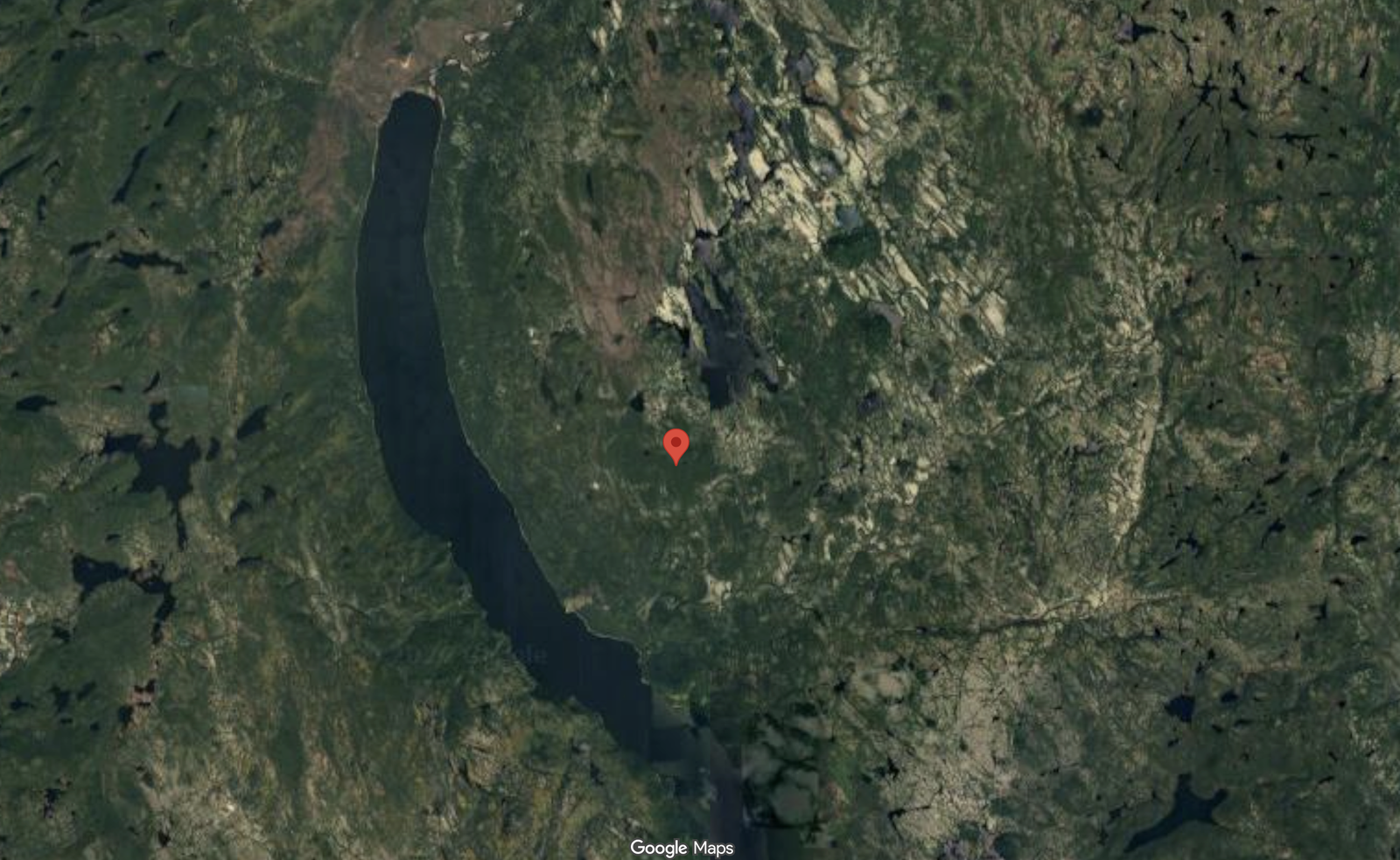
In late 2023, an amateur astronomer utilized digital mapping software to plot a forthcoming recreational journey through northern terrain. During this process, a distinct circular geological anomaly caught the user’s attention within the forest paths of northeastern Canada. Subsequent scientific evaluation confirmed that this topographical indentation represents the remnant of an ancient impact structure.
The integration of consumer-grade satellite imagery and crowdsourced geospatial platforms has increasingly altered traditional geographical exploration. By examining high-resolution maps without commercial or academic constraints, non-specialists occasionally identify anomalies overlooked by conventional survey methods. This occurrence highlights the growing utility of open-source geographic data in identifying terrestrial features requiring formal scientific classification.
Expeditionary Verification and Geological Significance
Following the initial identification, the geographical anomaly became the subject of formal academic scrutiny by planetary geologists. A field expedition to the Côte-Nord region of Quebec allowed researchers to collect physical evidence and analyze local terrain features. Subsequent microscopic examinations and chemical analyses identified characteristic shock metamorphic effects, establishing the feature’s extraterrestrial origin.
Geological assessments indicate that the structure spans approximately fifteen miles across, positioning it among the larger impact features documented in recent years. The structure dates back approximately 390 million years, providing a substantial physical record of ancient geological events in the region. Researchers intend to present these comprehensive findings at an upcoming annual meeting of the Meteoritical Society in Germany.
Crowdsourcing Frameworks in Planetary Science
The pathway from a casual digital map observation to a confirmed scientific discovery relies heavily on specialized crowdsourcing infrastructure. The observer submitted geographical coordinates to an established online database dedicated to impact structures, managed in collaboration with academic institutions. This digital repository enables researchers to filter user-submitted data, prioritize credible anomalies, and mobilize field expeditions.
Institutional reliance on public observation networks expands the geographic reach of academic researchers operating with finite resources. While the vast majority of user-submitted anomalies do not yield significant findings, structured verification pipelines ensure that credible anomalies receive professional attention. This collaborative dynamic between amateur enthusiasts and academic geologists illustrates an evolving model for planetary research and regional mapping.
Structural Implications for Regional Research
The confirmation of the Quebec impact structure underscores the challenges associated with cataloging terrestrial geological history in remote environments. Vast tracts of northern forested terrain remain under-surveyed by conventional geological mapping methods, leaving significant anomalies undetected for extended periods. Digital mapping platforms mitigate these geographical blind spots by offering continuous overhead visibility across inaccessible landscapes.
Academic institutions and regional geological surveys benefit from the democratization of observation tools, which effectively crowdsource initial reconnaissance phases. However, the transition from a digital observation to an established scientific fact requires rigorous fieldwork, sample collection, and laboratory analysis. The validation of this specific site demonstrates the ongoing value of empirical verification in confirming topographical hypotheses generated through digital exploration.