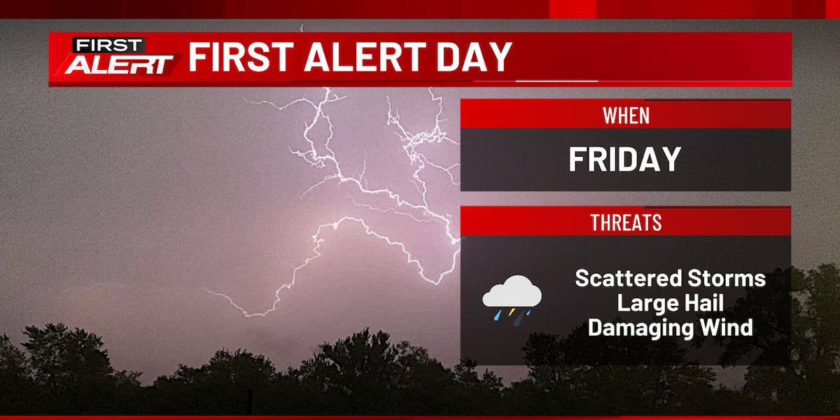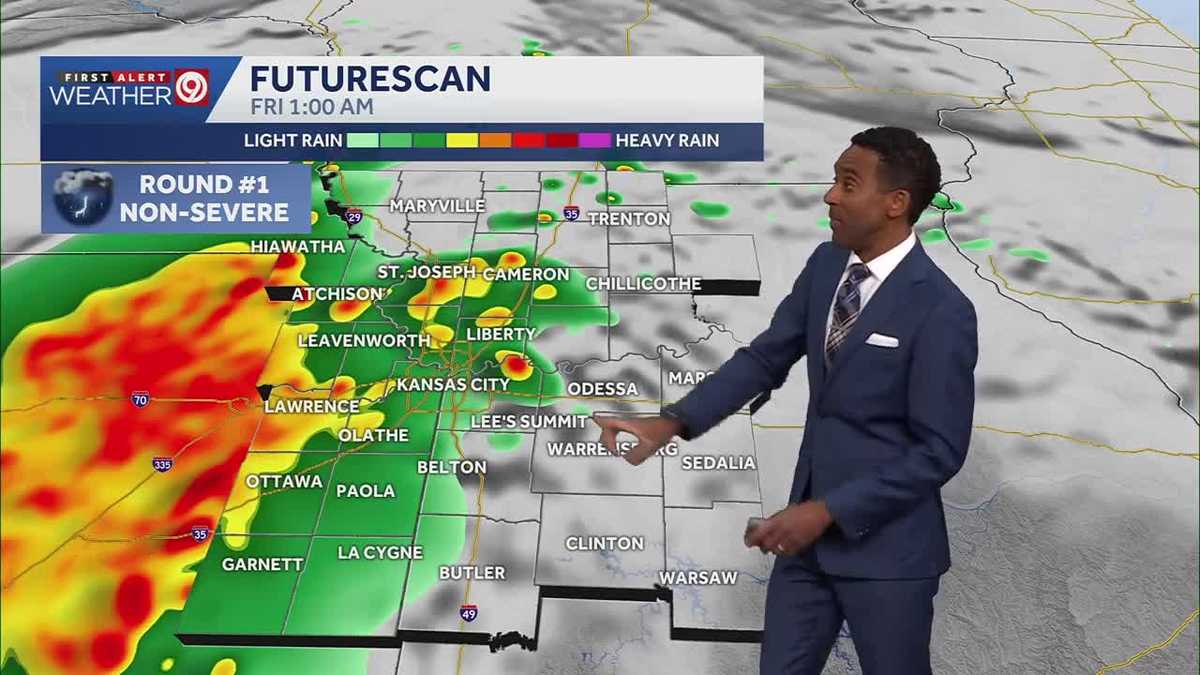
A complex, multi-phased severe weather event is forecast to impact eastern Iowa and the Kansas City metropolitan area on Friday, demanding heightened operational vigilance across regional infrastructure sectors due to sequential hazard profiles.
Phase I: Overnight Hydrological and Commute Disruption
The initial storm wave, targeting eastern Iowa near or after midnight, presents immediate risks of heavy downpours and frequent lightning. This activity strains localized drainage systems before peak business mobilization. In the Kansas City region, the first round is projected to coincide with the early morning commute (3:00 a.m. to 8:00 a.m. window), where visibility reduction (fog) and brief flash flooding threaten systemic transportation delays.
Phase II: Conditional Convective Escalation
The strategic significance of Friday rests on the second storm round, whose severity is directly contingent upon daytime solar forcing and instability build-up—a dynamic challenge for emergency management. In Kansas City, the potential for damaging winds, large hail, and isolated tornadoes is directly tied to the degree of afternoon warming, which governs convective initiation energy.
This conditional threat mandates that stakeholders, including utilities and agriculture, maintain high alert status throughout the 24-hour cycle, incurring preparedness costs irrespective of the final severe outcome.
Differential Threat Profiles and Response Granularity
Hazard profiles exhibit regional divergence, necessitating tailored protocols. While both regions face dual threats, the evening severe potential in Southeast Minnesota/Northeast Iowa is weighted toward hail, whereas the Kansas City outlook includes a broader spectrum of risks, notably the low-probability, high-impact tornado threat. This forces local Emergency Operations Centers (EOCs) to integrate granular models over broad advisories for effective asset deployment.
Hydrological Stress vs. Convective Intensity
Heavy rainfall is the primary threat across both waves in the SE MN/NE IA corridor, imposing sustained hydrological stress on culverts and low-lying infrastructure. Ground saturation from overnight activity will exacerbate runoff upon arrival of the second system. Conversely, the SPC’s Level 1/5 designation indicates that while convective ingredients exist, the mechanism for widespread, high-impact organization is constrained by frontal placement.
Operational Strains and Economic Uncertainty
Issuing a ‘First Alert Day’ designation across multiple markets incurs significant administrative and capital expenditure for overtime, equipment staging, and readiness maintenance across a full 24-hour cycle. This sustained readiness strains budgetary allocations. Furthermore, the uncertainty surrounding the afternoon instability creates a prolonged period of operational hesitation for local commerce reliant on predictable logistics and evening foot traffic.
Forecasting Limitations and Institutional Trust
The reliance on probabilistic assessments (Level 1 threat) requires local media and emergency services to translate this data into actionable guidance. The success of proactive alerts hinges on public trust, balancing the need to warn against the institutional risk of ‘alert fatigue’ if the most severe scenarios fail to materialize.
The sequential nature of the hazards—overnight floods followed by potential severe wind/hail—tests operational continuity, requiring crews to cycle through readiness protocols twice, increasing fatigue and potential error during transition phases.
Infrastructure Resilience and Thermal Dynamics
The necessity of managing both overnight hydrological loading and daytime convective energy release within 24 hours strains current stormwater management capacity, suggesting long-term capital investment requirements for hardening systems against repeated multi-wave events. The projected temperature climb into the low 70s explicitly links diurnal thermal dynamics to storm potential; cloud cover persistence from the morning storms acts as a crucial, measurable governor on the afternoon threat severity.
The defined operational endpoint arrives Saturday as cooler, drier air settles in, allowing for resource demobilization and structured post-event infrastructure assessment.