Meteorological Inversion: From Offshore Winds to Frontal Inundation
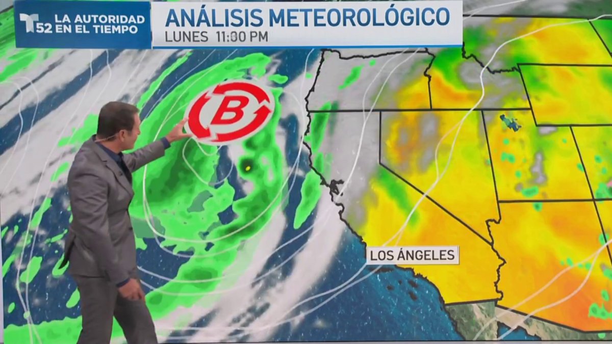
Southern California is undergoing a sharp meteorological transition as an incoming Pacific low-pressure system displaces the preceding regime of desiccating Santa Ana winds, localized wildfire outbreaks, and unseasonable October heat. Meteorological tracking identifies the frontal boundary tracking south of San Luis Obispo County, steering precipitation bands into Los Angeles County and adjacent jurisdictions.
This atmospheric shift produces conflicting operational environments for regional emergency services. While reduced ambient temperatures and surging relative humidity materially assist containment efforts across active fire perimeters, incoming moisture destabilizes degraded terrain across regional watersheds.
Littoral Dynamics and Synoptic Modeling
Coastal monitoring at Newport Beach reveals dense pre-frontal cloud ceilings alongside pronounced swell energy and visible shoreline erosion. These physical indicators trace an energetic Pacific frontal structure driving maritime turbulence and requiring precautionary coastal management.
According to National Weather Service forecasts out of Oxnard, including analyses by meteorologist Bryan Lewis reported by the Los Angeles Times, widespread precipitation totals will range between 13 and 25 millimeters. Unstable upper-level dynamics introduce convective instability, generating isolated thunderstorms, lightning discharges, and localized wind gusts through Wednesday before conditions abate late Thursday night.
Hydrogeomorphic Hazards on Fire-Affected Slopes
The primary systemic vulnerability lies in mountainous and canyon areas stripped of anchoring canopy and chaparral during recent wildfire clusters. Scorched soils manifest severe hydrophobic properties that virtually eliminate hydrological infiltration, dramatically accelerating peak discharge rates during moderate rainfall events.
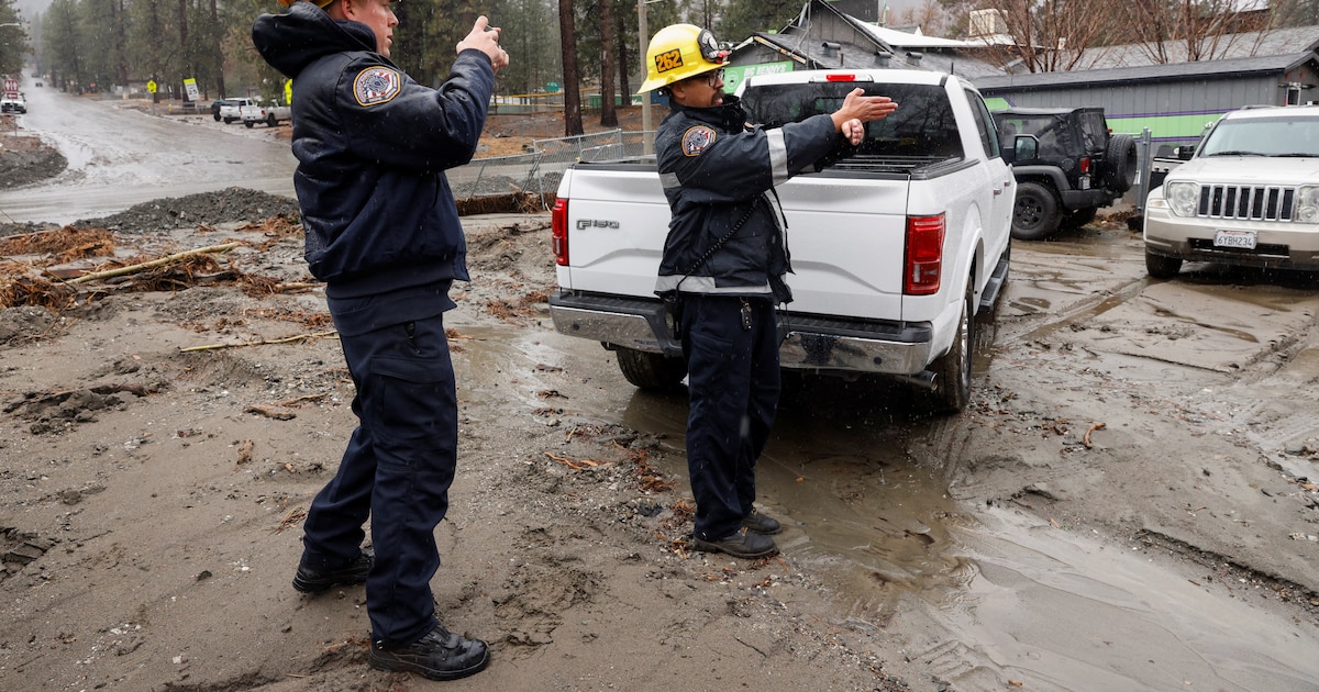
Rainfall accumulations of 13 to 25 millimeters—typically manageable within stabilized basins—are sufficient to liberate surface ash, entrain loose rock, and generate destructive, high-velocity debris flows. This slurry poses an immediate threat to downslope developments, catchment infrastructure, and transportation corridors flanking high-risk canyons.
Consequently, emergency management teams face concurrent tactical imperatives: ground crews must balance the suppression of lingering wildfire hotspots against escalating geotechnical slope instability and potential mass-wasting events.
Metropolitan Hydrology and Stormwater Constraints
Downstream in metropolitan Los Angeles, high impervious-surface ratios transfer frontal precipitation rapidly into municipal storm channels. The juxtaposition of intense sheet flow and residual debris from preceding wind events elevates the risk of intake clogging across sub-grade drains and low-gradient culverts.
Public works agencies face critical capacity limits during initial precipitation peaks, where localized street flooding can disrupt primary arterial transit. Preserving structural conduit capacity requires proactive maintenance of storm drains to avert infrastructural gridlock across regional transport networks.
Institutional Response and Alert Dissemination
Managing the compressed shift from extreme fire hazards to hydrologic watches necessitates tight operational coordination between the National Weather Service, county Emergency Operations Centers, and utility providers. Electrical utilities must deploy repair assets across unstable corridors as lightning strikes and wind gusts interact with fire-compromised infrastructure.
Actionable civic protection relies on clear public communication. Broadcast outlets and field reports, including Spanish-language coverage by meteorologist Guillermo Quiroz on Telemundo 52, play a central role in conveying hyper-local hazards. Verified multi-agency broadcasts remain the primary safeguard against driver stranding and catastrophic residential inundation across burn-adjacent communities.