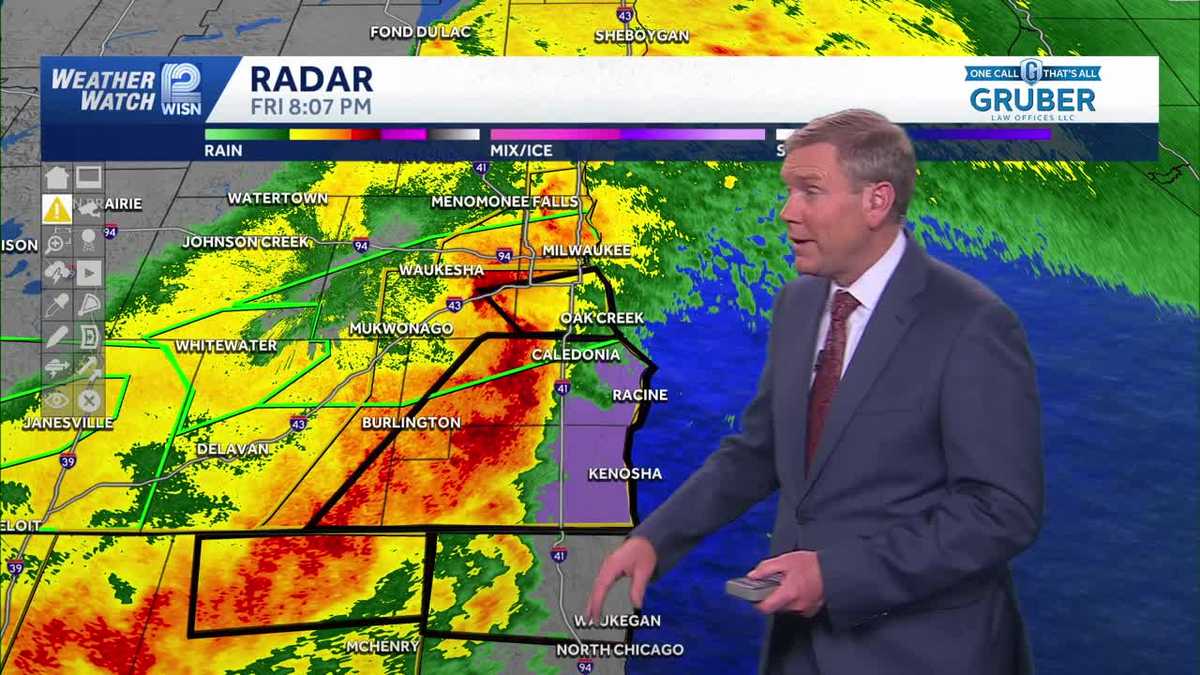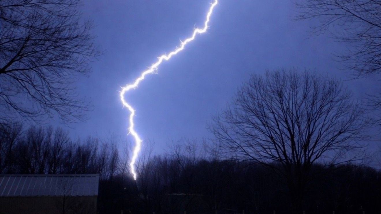
The April 17 meteorological event in Wisconsin serves as a critical case study in hydro-meteorological coupling. The convergence of severe atmospheric instability and pre-existing soil saturation created a high-risk environment for regional infrastructure. Between 5:00 p.m. and 11:00 p.m., the synergy of solar-fueled convective potential and a synoptic-scale frontal system triggered a rapid transition from atmospheric watches to localized emergencies, demanding immediate recalibration of municipal emergency protocols.
Infrastructure Vulnerability and Hydrological Saturation
Flash flood warnings across Milwaukee, Jefferson, Racine, Walworth, and Waukesha counties through 10:45 p.m. exposed structural vulnerabilities in the region’s drainage networks. With Northeast Wisconsin soils already at peak saturation, the additional two-inch rainfall influx directly challenged the integrity of levees and urban water management systems. This compounding effect meant traditional runoff models were insufficient to predict the rapid escalation of water levels in secondary tributaries.
Public works departments faced the challenge of managing a ‘narrow-window’ discharge event, where six hours of torrential rain bypassed conventional mitigation strategies. This sustained pressure necessitates a post-event assessment of transportation assets and the potential for emergency budgetary reallocation to address sub-surface erosion and breach risks in high-density flood-prone corridors.
Convective Dynamics and Atmospheric Priming
The intensification of Friday night’s storms was driven by Convective Available Potential Energy (CAPE) levels, catalyzed by afternoon solar radiation. For the 45 counties under the tornado watch—including Brown, Outagamie, and Shawano—this atmospheric priming coincided with peak transit hours, significantly increasing the exposure of mobile populations. The extension of warnings until 10:00 p.m. in the southeast suggests a stalling frontal boundary that sustained rotational dynamics over key economic hubs.
Economic Displacement and Supply Chain Disruptions
The agricultural and industrial sectors encountered immediate operational risks from large hail and damaging straight-line winds. The necessity to suspend non-essential operations between 4:00 p.m. and 7:00 p.m. to protect personnel highlights the economic friction caused by severe weather. Furthermore, the SE Wisconsin logistics corridor faced major logistical bottlenecks as flash floods impacted transit routes until midnight, forcing a trade-off between delivery schedules and vehicle fleet safety.
In the insurance sector, a surge in wind and hail claims is projected for Milwaukee and Waukesha counties. This cumulative damage, following a period of persistent hydrological stress, may drive a long-term reassessment of risk premiums for properties located within these vulnerable hydrological basins.
Recovery Window and Institutional Resilience
The transition to a stable, dry air mass beginning Saturday provides a critical seven-day operational window for damage assessment and soil stabilization. While Saturday’s high of 48 degrees and windy conditions may hinder initial power restoration, the subsequent dry period through Thursday offers a strategic opportunity for debris clearance and infrastructure reinforcement.
Ultimately, the April 17 outbreak tests the state’s disaster resilience framework. The National Weather Service’s real-time data integration and the tiered response from local emergency management emphasize the shift toward data-driven, agile disaster mitigation. Future strategies must continue to integrate meteorological forecasting with civil engineering benchmarks to manage the increasing volatility of Great Lakes weather patterns.