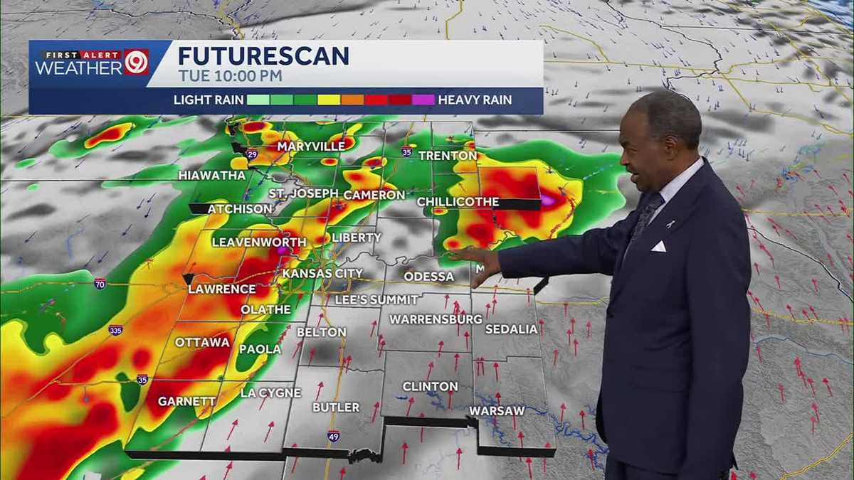
An abrupt atmospheric shift and the arrival of a potent cold front have triggered widespread severe weather alerts across the Kansas City metropolitan area, breaking an unseasonable heat pattern that saw temperatures near 90 degrees. Tuesday was designated a First Alert Weather Alert Day as initial convective cells delivered hazards of damaging winds and large hail. The primary convective threat prompted a metropolitan-wide severe thunderstorm watch, active through 11 p.m., signaling an abrupt operational shift for regional infrastructure.
Metropolitan Hydrometeorological Challenges and Forecast
The Tuesday evening commute, commencing around 6 p.m., directly intersected the developing convective activity, posing immediate hazards for municipal emergency services and regional logistics. Beyond the initial threats of significant wind shear and large-diameter hail, cumulative precipitation rapidly escalated hydrological vulnerabilities across low-lying urban sectors. This necessitated the issuance of a formal Flood Watch for metropolitan areas, effective from 7 p.m. Tuesday through Wednesday morning, specifically addressing concerns over ground saturation and increased surface runoff.
As convective intensity waned late Tuesday night, the synoptic pattern transitioned to one sustaining persistent, heavy rainfall, driven by residual atmospheric moisture across urban catchments. Overnight minimums plunged to approximately 63 degrees, accompanied by light southerly winds oscillating between 5 and 10 mph. This shift reoriented the primary hazard from localized structural wind damage to protracted ground accumulation and heightened flood risk, significantly complicating overnight utility repairs and surface transit through major corridors.
Midweek Thermal Compression and Persistent Precipitation
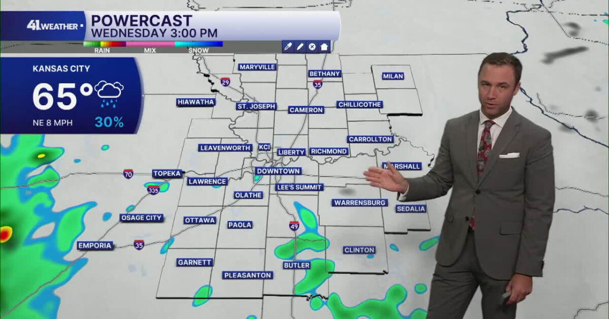
Both Wednesday and Thursday are affirmed as First Alert Weather Impact Days, predicated on the continuation of a multi-day precipitation regime. While early-morning commuters may experience lingering showers, followed by a transient midday reprieve, a renewed surge of convective instability is projected for late Wednesday evening. Daytime high temperatures will struggle to breach the 65-degree mark, influenced by light north-northeast winds of 5 to 10 mph, underscoring a sustained thermal decline.
This evolving hydrometeorological pattern portends renewed risks of heavy rainfall by Thursday morning, as successive waves of moisture transit the region. Thermometric analysis indicates a sustained thermal suppression, with daily maximum temperatures consistently remaining in the mid-to-upper 60s, juxtaposed against morning lows near 60 degrees. Forecast models from KSHB and FOX4 corroborate a trajectory towards noticeably cooler conditions extending into the weekend, effectively dismantling the prior near-record heat anomaly.
Operational and Civic Impact Across Municipal Networks
The protracted cluster of convective activity and persistent rainfall intervals is exerting significant, sustained friction on regional logistics and commuter infrastructure. The succession of alert designations signifies an extended vulnerability window, indicative of a complex, multi-day synoptic pattern rather than a singular, isolated frontal boundary passage. Consequently, transportation authorities and fleet operations must rigorously manage challenges posed by reduced visibility, localized hydroplaning, and extensive water accumulation on urban arterial networks through Thursday morning.
Public event planning throughout the Kansas City area faces sustained operational challenges, with meteorologists actively fielding civic inquiries regarding outdoor scheduling and venue resilience. Residents are advised to maintain proactive radar surveillance utilizing digital tools and official newsroom channels for real-time forecast updates. As ambient temperatures remain tightly compressed in the 60s, regional energy demand models project a rapid shift from cooling requirements to standard baseline operational consumption, reflecting the significant thermal inversion.