Systemic Grid Stress and Distribution Vulnerability
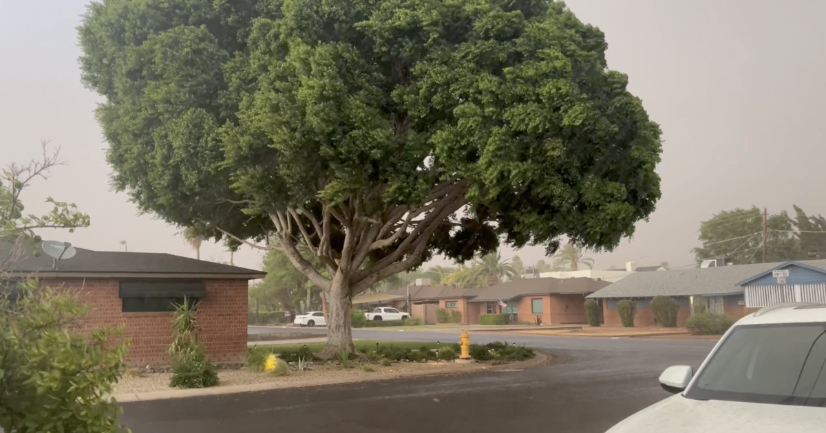
Atmospheric instability on July 13, 2026, provided a rigorous stress test for the Salt River Project (SRP) distribution network. Analysis of localized outages—specifically the disruption of 1,500 customers in Avondale and 1,000 in San Tan Valley—indicates that high-velocity wind gusts and particulate accumulation remain primary failure catalysts. The Avondale event, centered near Avondale Boulevard and Buckeye Road, suggests that high-density suburban corridors face heightened risks of dielectric failure or line contact during rapid-onset dust storms.
Unlike broad systemic failures, these outages represent localized mechanical stressors. The San Tan Valley incident followed a distinct convective trajectory, highlighting the necessity for enhanced grid hardening in Pinal County’s expanding residential footprint. These events underscore the operational challenge of maintaining insulator integrity against seasonal haboobs and high-wind thresholds.
Hydrological Heterogeneity and Urban Drainage Constraints
Precipitation data from the Maricopa County Flood Control District confirms extreme hydrological disparity. The recording of 1.34 inches in Arcadia versus 0.0 inches in Glendale illustrates the hyper-localized nature of monsoon convective cells. Such variance complicates municipal runoff management; city planners must mitigate significant volumetric surges in specific catchments while adjacent zones remain unaffected.
Downtown Phoenix recorded 0.87 inches, suggesting that Urban Heat Island (UHI) effects may be influencing storm maturation and localized precipitation release. Meanwhile, minimal accumulation in Buckeye and Cave Creek (0.04″ each) reinforces that moisture plumes were concentrated along a tight northeast-to-southwest axis, consistent with mountain-to-valley storm tracking.
Tactical Mitigation and Regional Logistics
With 60 mph winds and small hail reported in Florence and Kearny, the physical forces exerted on aging infrastructure necessitate a proactive maintenance posture. Flash flood warnings in Northern Arizona serve as leading indicators for downstream risk, as mountain runoff rapidly enters the Valley’s canal systems. Restoration protocols, exemplified by SRP’s 10 p.m. recovery targets, demonstrate standardized emergency response efficiency.
The current meteorological cycle—characterized by 2 p.m. storm development over elevated terrain—allows for precision resource staging. However, the long-term strategic takeaway remains the need for integrated risk management. The interplay between wind-driven dust and extreme precipitation continues to define the operational limits of Arizona’s built environment.