Atmospheric Volatility and Regional Risk Profiles
The intersection of a mid-latitude cold front with an upper-level trough and the subtropical jet stream has established a high-volatility atmospheric regime across Baja California. Documented by the State Coordination of Civil Protection (CEPC), this meteorological alignment introduces a complex risk profile for the region’s primary economic hubs through the morning of April 14, 2026. For institutional stakeholders, this event serves as a critical stress test for infrastructure resilience under combined thermal and hydrological pressure.
Geomorphological Instability in Tijuana’s Urban Topography
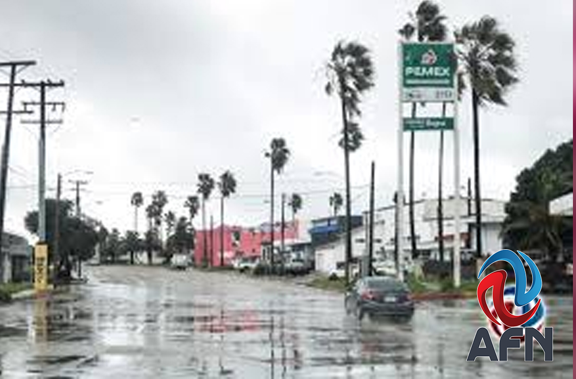
The primary civil concern remains Tijuana’s geomorphological vulnerability. Predicted precipitation levels directly threaten known landslide zones, where soil saturation levels are approaching critical thresholds for structural failure. The municipal operational burden shifts from routine maintenance to active risk mitigation in high-density informal and formal settlements. Peak intensity is projected between Sunday and Monday, necessitating a proactive deployment of emergency resources to manage runoff and drainage capacity.
Logistical Vulnerabilities in the Tecate-Mexicali Transit Corridor
Atmospheric pressure gradients are forecast to generate wind gusts exceeding 70 kilometers per hour across Mexicali, Tecate, and adjacent mountain ranges. These conditions introduce systemic risks to regional logistics, specifically the ‘tolvaneras’ (dust storms) that compromise visibility on the Rumorosa highway. For the commercial transport sector, these variables require adjusted transit schedules to mitigate vehicle overturning risks and maintain supply chain continuity between Baja California’s manufacturing centers and international markets.
Thermal Variance and Energy Demand Flux
A significant thermal gradient persists between the coastal macro-region and the interior deserts. While Tijuana and Rosarito maintain moderate temperatures (17°C–23°C), the interior regions of Mexicali and San Felipe face peaks of 35°C followed by sharp nocturnal drops. In the Sierra regions, temperatures reaching -5°C with frost potential create localized risks for agricultural infrastructure. These fluctuations demand high grid stability from energy providers to offset rapid shifts in consumption and potential wind-related damage to high-tension lines.
Maritime Constraints and Coastal Economic Impact
The western coastline faces operational constraints due to persistent fog banks driven by the interaction of the cold front with coastal moisture. Reduced visibility impacts maritime logistics and the regional fishing industry in Ensenada and Rosarito. These conditions necessitate a high degree of situational awareness for port authorities to prevent transit accidents in high-traffic coastal zones during this four-day period of atmospheric instability.
Institutional Governance and Resilience Policy
Salvador Cervantes Hernández, head of the CEPC, has emphasized a tiered response strategy utilizing National Meteorological Service (SMN) data. This institutional framework is designed to minimize the financial and human costs of disaster by providing actionable intelligence. Beyond immediate response, the recurring nature of these events underscores the need for structural policy interventions in urban planning and hydrological management to ensure long-term regional stability.